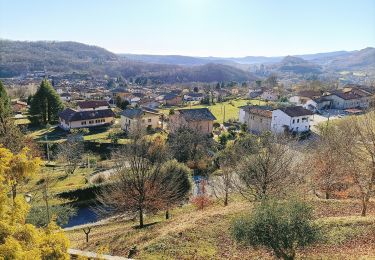
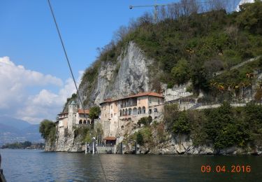
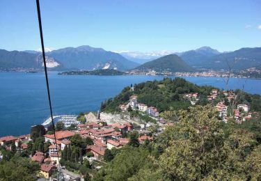
Trail Cycle Laveno-Mombello - venetië dzg 18 - Photo
© OpenStreetMap contributors
Length
Length
40 km
Max alt
Max alt
484 m
Uphill gradient
Uphill gradient
683 m
Km-Effort
Km-Effort  
49 km
Min alt
Min alt
213 m
Downhill gradient
Downhill gradient
712 m
Boucle
Boucle
No
Creation date :
2018-04-29 00:00:00.0
Updated on :
2018-04-29 00:00:00.0

(0 Reviews)

Cycle
Cycle
3h24
Difficulty : Medium

Scan this QR Code to open this trail in the SityTrail application

FREE GPS app for hiking

Logo SityTrail SityTrail

IGN / Geographical institutes

Download SityTrail from the App Store Download SityTrail from Google Play

Logo SityTrail SityTrail World

The world is yours!

Download SityTrail from the App Store Download SityTrail from Google Play Download SityTrail on Huawei AppGallery

About

Trail Cycle of 40 km to be discovered at Lombardy, Varese, Laveno-Mombello. This trail is proposed by karawatsj.

Description

Van Lago Magiorre naar Lago Lugano

Elevation profile

Photos

Positioning

Country:
Italy
Region :
Lombardy
Department/Province :
Varese
Municipality :
Laveno-Mombello
Location:
Unknown
Start:(UTM)
470523 ; 5082106 (32T) N.

Trails nearby

Trail On foot Laveno-Mombello - Anulare Valcuviano - Photo
On foot
GUIDE+

On foot

Very difficult
Laveno-Mombello, Lombardy, Varese, Italy
71 km | 118 km-effort
26h 48min
No
Trail On foot Leggiuno - Anello di Santa Caterina - Photo
On foot
GUIDE+

On foot

Easy
Leggiuno, Lombardy, Varese, Italy
10.9 km | 14 km-effort
3h 11min
No
Trail On foot Verbania - R00 Verbania Intra P.le Flaim - Trobaso - Cambiasca - Caprezzo - Intragna - Aurano - Photo
On foot
GUIDE+

On foot

Medium
Verbania, Piemont, Verbano-Cusio-Ossola, Italy
16.5 km | 28 km-effort
6h 21min
No
Trail On foot Verbania - R04 Verbania Intra - Zoverallo - San Martino - Bèe - Monte Cimolo - Pian Nava - Photo
On foot
GUIDE+

On foot

Easy
Verbania, Piemont, Verbano-Cusio-Ossola, Italy
10.4 km | 18.8 km-effort
4h 16min
No
Trail On foot Castelveccana - IT-225B - Photo
On foot
GUIDE+

On foot

Easy
Castelveccana, Lombardy, Varese, Italy
4.3 km | 6.8 km-effort
1h 32min
No
Trail On foot Castelveccana - IT-225A - Photo
On foot
GUIDE+

On foot

Easy
Castelveccana, Lombardy, Varese, Italy
4.1 km | 6.1 km-effort
1h 22min
No
Trail On foot Cittiglio - IT-225 - Photo
On foot
GUIDE+

On foot

Easy
Cittiglio, Lombardy, Varese, Italy
4.3 km | 7 km-effort
1h 36min
No
Trail On foot Cittiglio - Via Verde Varesina tappa 5 - Photo
On foot
GUIDE+

On foot

Easy
Cittiglio, Lombardy, Varese, Italy
10.2 km | 18.4 km-effort
4h 10min
No
Trail On foot Cittiglio - IT-204 - Photo
On foot
GUIDE+

On foot

Easy
Cittiglio, Lombardy, Varese, Italy
4.6 km | 10.5 km-effort
2h 23min
No


Close
My subscriptions