


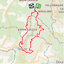

21 km | 29 km-effort

User


FREE GPS app for hiking
 SityTrail
IGN / Geographical institutes
SityTrail World
The world is yours!
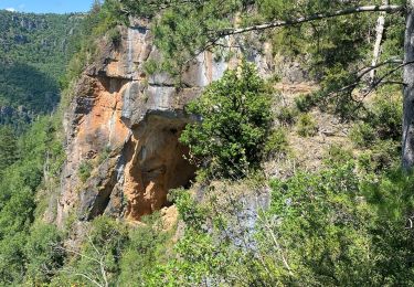
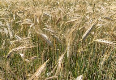
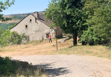
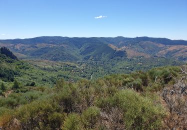
Trail On foot of 18.7 km to be discovered at Occitania, Gard, Lanuéjols. This trail is proposed by silvestreclaudine.
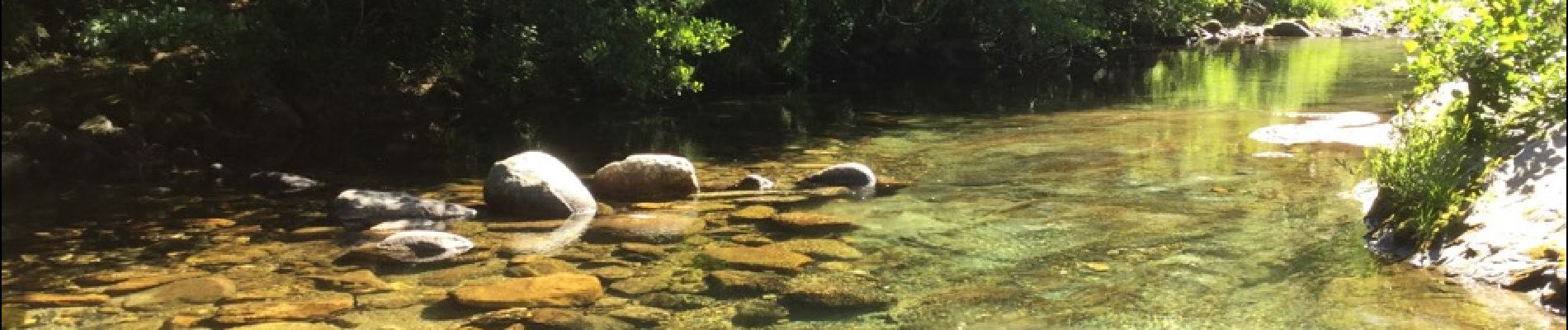
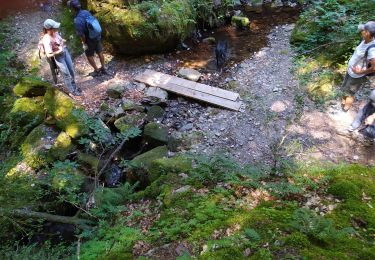
Depart près du pont puis passage à gue ( beaucoup d'eau ) suivant La saison. Pour descendre traverser la rivière à droite à l'entrée du champ , pas de difficultés majeur en dehors du gue


Walking

Walking
Walking
Walking
On foot
Walking