

Art et culture
Maison du Tourisme Explore Meuse
Vivez Explore Meuse GUIDE+

Length
18.8 km

Max alt
273 m

Uphill gradient
244 m

Km-Effort
22 km

Min alt
219 m

Downhill gradient
242 m
Boucle
Yes
Creation date :
2017-05-30 00:00:00.0
Updated on :
2017-05-30 00:00:00.0
1h17
Difficulty : Unknown

FREE GPS app for hiking
About
Trail Cycle of 18.8 km to be discovered at Wallonia, Namur, Mettet. This trail is proposed by Maison du Tourisme Explore Meuse.
Description
Ce circuit champêtre nous entraîne à la découverte du patrimoine et de l'environnement de quatre villages pittoresques de la Commune de Mettet: Furnaux, Biesmerée, Bossière et Graux.
Points of interest
Positioning
Country:
Belgium
Region :
Wallonia
Department/Province :
Namur
Municipality :
Mettet
Location:
Furnaux
Start:(Dec)
Start:(UTM)
621398 ; 5574254 (31U) N.
Comments
Trails nearby
RB-Na-23-Sur le plateau de l’Entre-Sambre-et-Meuse


Walking
Very difficult
(8)
Mettet,
Wallonia,
Namur,
Belgium

24 km | 29 km-effort
6h 39min
Yes
RB-Na-16 - Paysages de la Molignée


Walking
Medium
(20)
Anhée,
Wallonia,
Namur,
Belgium

18.3 km | 24 km-effort
5h 13min
Yes
RB-Na-23-racc-Sur le plateau de l’Entre-Sambre-et-Meuse


Walking
Difficult
(8)
Mettet,
Wallonia,
Namur,
Belgium

14 km | 16.7 km-effort
3h 47min
Yes

RB-Na-16 Raccourci - Paysages de la Molignée


Walking
Easy
(17)
Anhée,
Wallonia,
Namur,
Belgium

13 km | 16.6 km-effort
3h 40min
Yes
Balade de l'abbaye de Maredsous à Ermeton-sur-Biert


Walking
Easy
(4)
Anhée,
Wallonia,
Namur,
Belgium

9.2 km | 11.9 km-effort
2h 32min
Yes
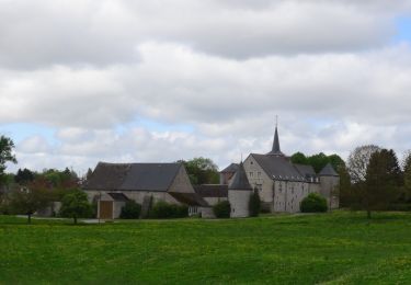
Balade à Denée


Walking
Very easy
(1)
Anhée,
Wallonia,
Namur,
Belgium

5.8 km | 7.4 km-effort
1h 35min
Yes

MAREDSOUS ... par l'Abbaye de Maredret et la campagne de Bonsin.


Walking
Easy
(1)
Anhée,
Wallonia,
Namur,
Belgium

9.3 km | 12.3 km-effort
2h 0min
Yes
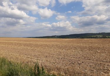
Maredsous 18/07/20


Walking
Difficult
(1)
Anhée,
Wallonia,
Namur,
Belgium

7.6 km | 10 km-effort
1h 43min
Yes
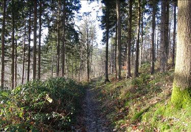
De Furnaux à Ermeton-sur-Biert


Walking
Very easy
(3)
Mettet,
Wallonia,
Namur,
Belgium

7.4 km | 9.5 km-effort
2h 4min
Yes


 SityTrail


très chouette balade