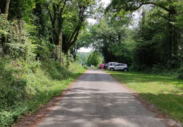
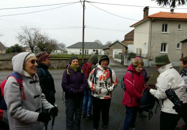
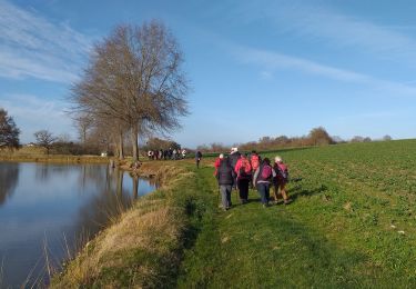
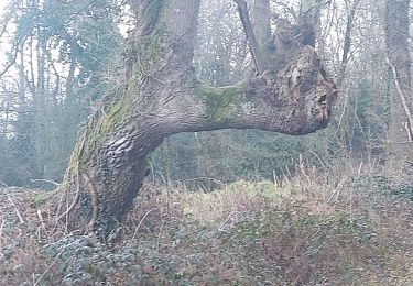
4.3 km | 4.6 km-effort
lande de Broustes seron
LouisROGER
User
Length
4.3 km
Max alt
379 m
Uphill gradient
22 m
Km-Effort
4.6 km
Min alt
368 m
Downhill gradient
22 m
Boucle
Yes
Creation date :
2018-03-11 00:00:00.0
Updated on :
2018-03-11 00:00:00.0
1h01
Difficulty : Very easy
FREE GPS app for hiking
About
Trail Walking of 4.3 km to be discovered at Occitania, Hautespyrenees, Séron. This trail is proposed by LouisROGER.
Positioning
Country:
France
Region :
Occitania
Department/Province :
Hautespyrenees
Municipality :
Séron
Location:
Unknown
Start:(Dec)
Start:(UTM)
736438 ; 4800490 (30T) N.
Comments
Trails nearby
RS AAST Sayetes Long
Walking
Very easy
(1)
Aast,
New Aquitaine,
Pyrénées-Atlantiques,
France
1h 1min
Yes
LOURENTIES. RS PN
Walking
Easy
Lourenties,
New Aquitaine,
Pyrénées-Atlantiques,
France
3.9 km | 4.6 km-effort
1h 22min
Yes
ESLOURENTIES DABAN. RS
Walking
Easy
Eslourenties-Daban,
New Aquitaine,
Pyrénées-Atlantiques,
France
4.8 km | 5.8 km-effort
1h 38min
Yes
MN2 Lac du Louet avt travaux
Nordic walking
Very easy
(1)
Escaunets,
Occitania,
Hautespyrenees,
France
8.1 km | 9.4 km-effort
Unknown
Yes
Oroix RS longFait
Walking
Very easy
Oroix,
Occitania,
Hautespyrenees,
France
5.1 km | 5.6 km-effort
2h 34min
Yes
SityTrail - RS AAST Sayetes Long
On foot
Easy
Aast,
New Aquitaine,
Pyrénées-Atlantiques,
France
4.3 km | 4.6 km-effort
1h 2min
Yes
SityTrail - RS Oroix village
On foot
Very easy
Oroix,
Occitania,
Hautespyrenees,
France
4.7 km | 5.1 km-effort
Unknown
Yes
Pontiac RS
Walking
Very easy
Pontiacq-Viellepinte,
New Aquitaine,
Pyrénées-Atlantiques,
France
4.2 km | 4.6 km-effort
1h 53min
Yes
SAUBOLE RS 2024
Walking
Easy
Saubole,
New Aquitaine,
Pyrénées-Atlantiques,
France
4.9 km | 5.9 km-effort
2h 18min
Yes
promenade agréable par temps couvert