


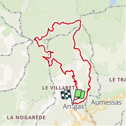

16.1 km | 28 km-effort


User


FREE GPS app for hiking
 SityTrail
IGN / Geographical institutes
SityTrail World
The world is yours!
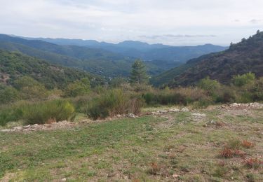
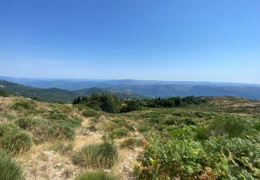
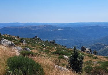
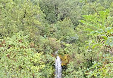
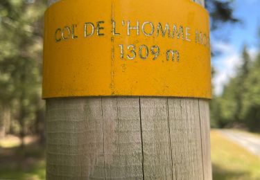
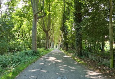
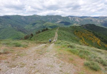
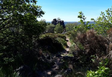
Trail Walking of 19.3 km to be discovered at Occitania, Gard, Arrigas. This trail is proposed by vertygo.
cliquer pour <a href=https://goo.gl/photos/zUo1Cevvf2MwqqVr7 target=_blank>voir des photos</a> - d'autres parcours sur <a href='http://www.vertygo.org' target=_blank> www.vertygo.org</a>
Walking

Walking
Walking
Walking
Walking
Walking
Walking