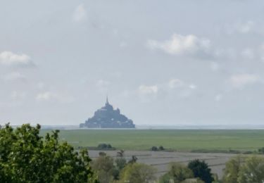
Trail Mountain bike Le Val-Saint-Père - Manche 5 - Photo
 plevier
plevier

User

© OpenStreetMap contributors
Length
Length
42 km
Max alt
Max alt
105 m
Uphill gradient
Uphill gradient
298 m
Km-Effort
Km-Effort  
46 km
Min alt
Min alt
0 m
Downhill gradient
Downhill gradient
384 m
Boucle
Boucle
No
Creation date :
2017-05-30 00:00:00.0
Updated on :
2017-05-30 00:00:00.0

(0 Reviews)

Mountain bike
Mountain bike
3h03
Difficulty : Unknown

Scan this QR Code to open this trail in the SityTrail application

FREE GPS app for hiking

Logo SityTrail SityTrail

IGN / Geographical institutes

Download SityTrail from the App Store Download SityTrail from Google Play

Logo SityTrail SityTrail World

The world is yours!

Download SityTrail from the App Store Download SityTrail from Google Play Download SityTrail on Huawei AppGallery

About

Trail Mountain bike of 42 km to be discovered at Normandy, Manche, Le Val-Saint-Père. This trail is proposed by plevier.

Description

Avranche-Mont Saint Michel

Elevation profile

Positioning

Country:
France
Region :
Normandy
Department/Province :
Manche
Municipality :
Le Val-Saint-Père
Location:
Unknown
Start:(UTM)
620372 ; 5393060 (30U) N.

Trails nearby

Trail Walking Courtils - La roche taurin Mont st michel - Photo
Walking
mamyzine

Walking

Easy
(1)
Courtils, Normandy, Manche, France
10.8 km | 11.4 km-effort
3h 52min
No
Trail Walking Courtils - La Roche Torin - le bas courtils - Photo
Walking
serleb

Walking

Easy
Courtils, Normandy, Manche, France
11 km | 11.9 km-effort
3h 5min
Yes
Trail Walking Marcey-les-Grèves - St Senier sous Avranche / Courtils - Photo
Walking
mimisouge72

Walking

Easy
Marcey-les-Grèves, Normandy, Manche, France
21 km | 23 km-effort
4h 22min
No
Trail Walking Courtils - La roche taurin Mont st michel - Photo
Walking
mamyzine

Walking

Easy
Courtils, Normandy, Manche, France
10.8 km | 11.4 km-effort
3h 52min
No
Trail Walking Le Val-Saint-Père - MSM 11  Avranches - Cherrueix. 32km (34km) - Photo
Walking
Lannoy Christophe

Walking

Very difficult
Le Val-Saint-Père, Normandy, Manche, France
32 km | 34 km-effort
7h 41min
No
Trail Walking Saint-Loup - loup  - Photo
Walking
rakown

Walking

Easy
Saint-Loup, Normandy, Manche, France
1.3 km | 1.5 km-effort
11min
No
Trail Bicycle tourism Marcey-les-Grèves - Marcey-les-Grèves /Caen - Photo
Bicycle tourism
enoitna

Bicycle tourism

Very difficult
Marcey-les-Grèves, Normandy, Manche, France
124 km | 143 km-effort
5h 39min
No
Trail Motorbike Poilley - Sortie cedric pontaubault -st poids  - Photo
Motorbike
Sylvain Thierry

Motorbike

Poilley, Normandy, Manche, France
114 km | 142 km-effort
4h 15min
Yes
Trail Walking Courtils - mont st michel - Photo
Walking
a_pascale

Walking

Difficult
Courtils, Normandy, Manche, France
16.5 km | 17.3 km-effort
2h 57min
Yes


Close
My subscriptions