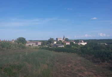
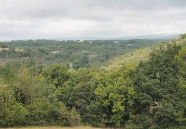
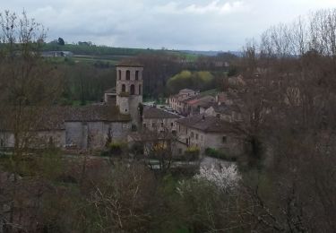
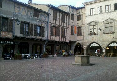
11.2 km | 14.6 km-effort
81_Andillac
jab31
User
Length
17.8 km
Max alt
280 m
Uphill gradient
356 m
Km-Effort
23 km
Min alt
180 m
Downhill gradient
356 m
Boucle
Yes
Creation date :
2017-11-12 00:00:00.0
Updated on :
2017-11-12 00:00:00.0
4h09
Difficulty : Medium
FREE GPS app for hiking
About
Trail Walking of 17.8 km to be discovered at Occitania, Tarn, Andillac. This trail is proposed by jab31.
Description
Du Cayla à la Vère; vignes villages et rivières
Positioning
Country:
France
Region :
Occitania
Department/Province :
Tarn
Municipality :
Andillac
Location:
Unknown
Start:(Dec)
Start:(UTM)
411746 ; 4873468 (31T) N.
Comments
Trails nearby
Cordes-sur-ciel / Sentier du Causse (boucle)
Walking
Easy
(3)
Souel,
Occitania,
Tarn,
France
3h 8min
Yes
81_Les Cabannes_meulière_longue
Walking
Medium
(1)
Amarens,
Occitania,
Tarn,
France
16.4 km | 23 km-effort
4h 51min
Yes
81_Cahuzac sur Vère
Walking
Medium
(1)
Cahuzac-sur-Vère,
Occitania,
Tarn,
France
17.3 km | 22 km-effort
3h 40min
Yes
Campagnac Saint Bauzille
Walking
Easy
Campagnac,
Occitania,
Tarn,
France
11.5 km | 16.1 km-effort
3h 10min
Yes
Boucle Vieux Le Verdier Cahuzac sur Vère Andillac
Walking
Very easy
Vieux,
Occitania,
Tarn,
France
22 km | 29 km-effort
6h 52min
Yes
cahuzac sur sere sentier des lavoirs
Walking
Very easy
(1)
Cahuzac-sur-Vère,
Occitania,
Tarn,
France
18.4 km | 22 km-effort
5h 39min
Yes
Campagnac-Itzac
Walking
Medium
Campagnac,
Occitania,
Tarn,
France
12.2 km | 16.2 km-effort
3h 26min
Yes
Aveyron-121010 - Amarens-Castelnau (txt,gps,foto)
Walking
Very easy
Amarens,
Occitania,
Tarn,
France
22 km | 27 km-effort
7h 56min
No