18.8 km | 27 km-effort
Sentier des sommets via Ascain et Esnaur
pacha56
User
Length
12.7 km
Max alt
264 m
Uphill gradient
384 m
Km-Effort
17.8 km
Min alt
6 m
Downhill gradient
382 m
Boucle
Yes
Creation date :
2017-05-08 00:00:00.0
Updated on :
2017-05-08 00:00:00.0
2h31
Difficulty : Easy
FREE GPS app for hiking
About
Trail Walking of 12.7 km to be discovered at New Aquitaine, Pyrénées-Atlantiques, Ascain. This trail is proposed by pacha56.
Description
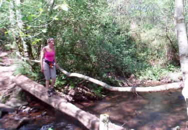
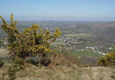
passage par Ascain, beau sentier vers un ruisseau...
Positioning
Country:
France
Region :
New Aquitaine
Department/Province :
Pyrénées-Atlantiques
Municipality :
Ascain
Location:
Unknown
Start:(Dec)
Start:(UTM)
610675 ; 4801945 (30T) N.
Comments
Trails nearby
ascain Sare ascain
Walking
Medium
(1)
Ascain,
New Aquitaine,
Pyrénées-Atlantiques,
France
4h 39min
Yes
64 SAINT-JEAN-DE-LUZ, front de mer, pointe ste Barbe, sentier littoral
Walking
Medium
(1)
Saint-Jean-de-Luz,
New Aquitaine,
Pyrénées-Atlantiques,
France
6.9 km | 8.4 km-effort
1h 57min
Yes
Montagne de Ciboure - Trabenea
Walking
Medium
(2)
Urrugne,
New Aquitaine,
Pyrénées-Atlantiques,
France
8.6 km | 13.3 km-effort
2h 30min
Yes
Uhartea 22
Walking
Very difficult
(1)
Saint-Pée-sur-Nivelle,
New Aquitaine,
Pyrénées-Atlantiques,
France
22 km | 31 km-effort
7h 0min
Yes
la rhune
Mountain bike
Very difficult
(2)
Urrugne,
New Aquitaine,
Pyrénées-Atlantiques,
France
32 km | 45 km-effort
3h 42min
Yes
rhune
Walking
Medium
(1)
Urrugne,
New Aquitaine,
Pyrénées-Atlantiques,
France
11.9 km | 24 km-effort
4h 43min
Yes
64-Olhette-20110417
Mountain bike
Difficult
(2)
Urrugne,
New Aquitaine,
Pyrénées-Atlantiques,
France
33 km | 49 km-effort
3h 30min
Yes
la rhune depuis olhette
Walking
Medium
(2)
Ascain,
New Aquitaine,
Pyrénées-Atlantiques,
France
9.8 km | 20 km-effort
Unknown
Yes
Ascain_Col St Ignace
Walking
Medium
(1)
Ascain,
New Aquitaine,
Pyrénées-Atlantiques,
France
7 km | 9.3 km-effort
2h 6min
Yes