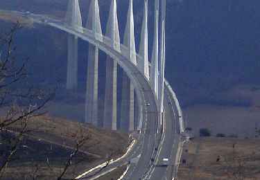
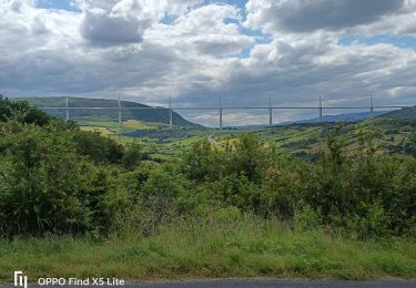
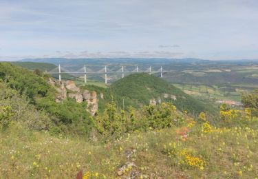
10.3 km | 13.8 km-effort
Migoual Officiel
BZH74
User
Length
66 km
Max alt
1561 m
Uphill gradient
2557 m
Km-Effort
96 km
Min alt
357 m
Downhill gradient
1366 m
Boucle
No
Creation date :
2017-05-02 00:00:00.0
Updated on :
2017-05-02 00:00:00.0
--
Difficulty : Very difficult
FREE GPS app for hiking
About
Trail Running of 66 km to be discovered at Occitania, Aveyron, Millau. This trail is proposed by BZH74.
Positioning
Country:
France
Region :
Occitania
Department/Province :
Aveyron
Municipality :
Millau
Location:
Unknown
Start:(Dec)
Start:(UTM)
507017 ; 4883869 (31T) N.
Comments
Trails nearby
Randonnée autour du Viaduc de Millau
Walking
Difficult
(2)
Millau,
Occitania,
Aveyron,
France
18.5 km | 26 km-effort
5h 30min
Yes
le chaos de Caoussou
Walking
Difficult
Millau,
Occitania,
Aveyron,
France
14.1 km | 17.9 km-effort
4h 4min
Yes
le puech d'Andan(Millau)
Walking
Medium
(1)
Millau,
Occitania,
Aveyron,
France
11 km | 18 km-effort
3h 45min
Yes
millau. massebiau
Walking
Very easy
(2)
Millau,
Occitania,
Aveyron,
France
15.6 km | 19.8 km-effort
2h 48min
No
Millau gorges de la Jonte et gorges du Tarn
Electric bike
Medium
Millau,
Occitania,
Aveyron,
France
56 km | 68 km-effort
4h 10min
No
Millau= Saint Rome de Tarn=Saint Georges de Luzencon retour par la voie verte...
Electric bike
Medium
Millau,
Occitania,
Aveyron,
France
51 km | 61 km-effort
4h 42min
No
Millau gorges de la Dourbie
Electric bike
Medium
Millau,
Occitania,
Aveyron,
France
72 km | 88 km-effort
5h 43min
No
Au dessus de Millau
Walking
Medium
Creissels,
Occitania,
Aveyron,
France
7.3 km | 9 km-effort
2h 27min
No