


7.6 km | 9.1 km-effort


User


FREE GPS app for hiking
 SityTrail
IGN / Geographical institutes
SityTrail World
The world is yours!
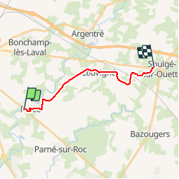
Trail Walking of 13.7 km to be discovered at Pays de la Loire, Mayenne, Forcé. This trail is proposed by Axelloceane.
départ de Forcé puis prendre la D 130.A la sortie de Forcé tourner à gauche direction les Onglets puis suivre le balisage jusqu'à Louvigné.Traverser le village et prendre le chemin direction les Arcis,après la croix tourner à droite pour rejoindre Soulgé sur Ouette.
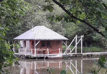
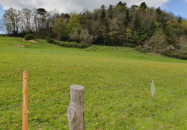
 - Photo 1")
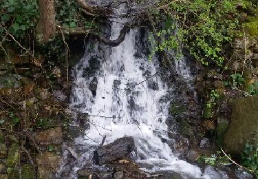
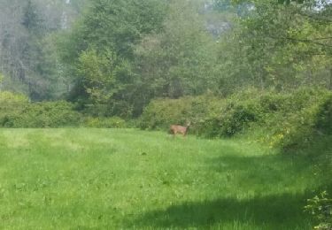
 - Photo 2")
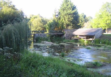
 - Photo 3")
Walking

Walking

Walking
Walking
Mountain bike
Walking

Walking
Walking

Walking