


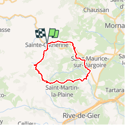

16.8 km | 24 km-effort


User


FREE GPS app for hiking
 SityTrail
IGN / Geographical institutes
SityTrail World
The world is yours!
Trail Walking of 20 km to be discovered at Auvergne-Rhône-Alpes, Rhône, Sainte-Catherine. This trail is proposed by bouchetaoui.
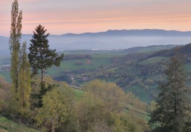
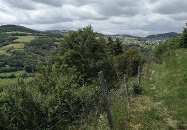
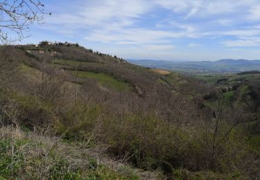
Belle randonnée avec de longs parcours en ligne de crête qui offrent un vaste panorama vers le massif du Pilat.
La difficulté réside dans la longueur du parcours et une montée à l'arrivée sur Riverie.

Walking

Walking

Walking

Walking
Walking

Walking

Walking
Walking
Walking