38 km | 47 km-effort
Stevenson 7A
Jean-MarieFaux
User
Length
14.4 km
Max alt
1699 m
Uphill gradient
300 m
Km-Effort
20 km
Min alt
890 m
Downhill gradient
819 m
Boucle
No
Creation date :
2017-04-22 00:00:00.0
Updated on :
2017-04-22 00:00:00.0
3h58
Difficulty : Medium
FREE GPS app for hiking
About
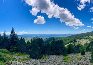
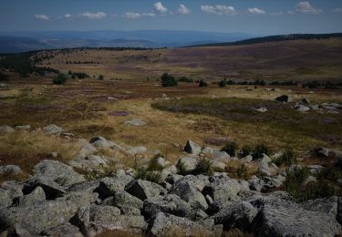
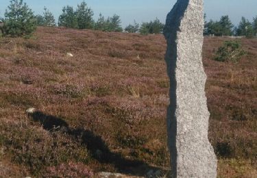
Trail Walking of 14.4 km to be discovered at Occitania, Lozère, Cubières. This trail is proposed by Jean-MarieFaux.
Description
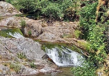
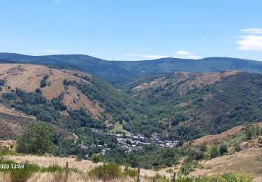
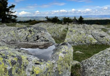
Mont Lozere - Pont de Montvert
Positioning
Country:
France
Region :
Occitania
Department/Province :
Lozère
Municipality :
Cubières
Location:
Unknown
Start:(Dec)
Start:(UTM)
559519 ; 4922335 (31T) N.
Comments
Trails nearby
Bleymar _ Le Pont Montvert
Walking
Difficult
(1)
Mont Lozère et Goulet,
Occitania,
Lozère,
France
22 km | 32 km-effort
5h 19min
No
Chemin de Stevenson - Le Bleymard vers Le Pont de Montvert
Walking
Difficult
(1)
Mont Lozère et Goulet,
Occitania,
Lozère,
France
18.9 km | 28 km-effort
4h 30min
No
Stevenson étape 8
Walking
Difficult
Mont Lozère et Goulet,
Occitania,
Lozère,
France
20 km | 30 km-effort
5h 29min
No
Le Bleymard_La Crouzette par le chemin Stevenson_10,5Km
Walking
Difficult
(1)
Mont Lozère et Goulet,
Occitania,
Lozère,
France
10.6 km | 14.4 km-effort
3h 2min
Yes
sources du tarn
Walking
Medium
(1)
Mont Lozère et Goulet,
Occitania,
Lozère,
France
13.3 km | 17.3 km-effort
3h 50min
No
Etape 6 le Bleymard / Pont Montvert
Walking
Difficult
Mont Lozère et Goulet,
Occitania,
Lozère,
France
20 km | 29 km-effort
5h 31min
No
ETANG DE BARANDON PAR LA STATION DE SKI
Electric bike
Medium
Cubières,
Occitania,
Lozère,
France
31 km | 36 km-effort
2h 11min
Yes
Fait GTMC 2022 E3 3b
Mountain bike
Difficult
Mont Lozère et Goulet,
Occitania,
Lozère,
France
51 km | 68 km-effort
7h 43min
No