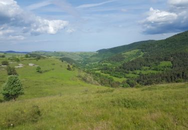
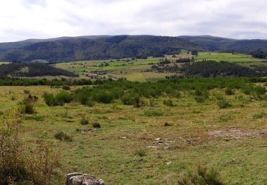
20 km | 28 km-effort
Stevenson 6A
Jean-MarieFaux
User
Length
23 km
Max alt
1418 m
Uphill gradient
871 m
Km-Effort
34 km
Min alt
1063 m
Downhill gradient
631 m
Boucle
No
Creation date :
2017-04-22 00:00:00.0
Updated on :
2017-04-22 00:00:00.0
7h10
Difficulty : Medium
FREE GPS app for hiking
About
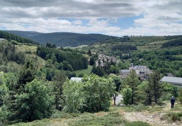
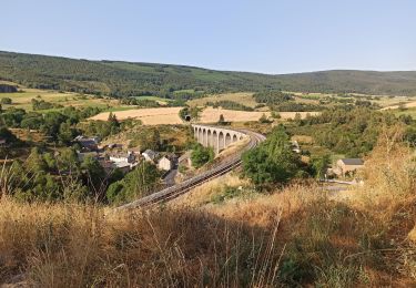
Trail Walking of 23 km to be discovered at Occitania, Lozère, Mont Lozère et Goulet. This trail is proposed by Jean-MarieFaux.
Description
Mirandol - Station météo Mont Lozere
Positioning
Country:
France
Region :
Occitania
Department/Province :
Lozère
Municipality :
Mont Lozère et Goulet
Location:
Unknown
Start:(Dec)
Start:(UTM)
565564 ; 4933419 (31T) N.
Comments
Trails nearby
Stevenson Chasseradès - Le Bleymard
Walking
Very difficult
Mont Lozère et Goulet,
Occitania,
Lozère,
France
21 km | 29 km-effort
5h 4min
No
le Bleymard
Walking
Very difficult
Mont Lozère et Goulet,
Occitania,
Lozère,
France
17.3 km | 25 km-effort
5h 14min
No
Chasserades Bleymard
Walking
Difficult
Mont Lozère et Goulet,
Occitania,
Lozère,
France
20 km | 28 km-effort
6h 57min
No
arsel chasserades au bleymard
Walking
Very easy
Mont Lozère et Goulet,
Occitania,
Lozère,
France
14.1 km | 21 km-effort
6h 14min
No
Chasserades Finiels 2020
Mountain bike
Difficult
Mont Lozère et Goulet,
Occitania,
Lozère,
France
48 km | 67 km-effort
5h 36min
No
Chasserades -Station Mont Lozère Stevenson
Walking
Difficult
(1)
Mont Lozère et Goulet,
Occitania,
Lozère,
France
25 km | 37 km-effort
7h 47min
No
GR_70_AG_07_Mont-Lozere-Goulet_Cubieres_20140921
Walking
Very difficult
Mont Lozère et Goulet,
Occitania,
Lozère,
France
19.8 km | 30 km-effort
6h 12min
No
20230405 Chasserades-le Bleymard
Walking
Easy
Mont Lozère et Goulet,
Occitania,
Lozère,
France
18.7 km | 26 km-effort
4h 32min
No