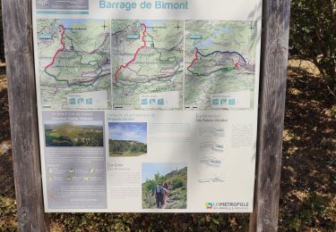
15.8 km | 28 km-effort
OR-3926090--Tholonet (Le):Bimont_Vale_1
didier13190
User
Length
19 km
Max alt
393 m
Uphill gradient
445 m
Km-Effort
25 km
Min alt
249 m
Downhill gradient
454 m
Boucle
Yes
Creation date :
2017-04-20 00:00:00.0
Updated on :
2017-04-20 00:00:00.0
--
Difficulty : Unknown
FREE GPS app for hiking
About
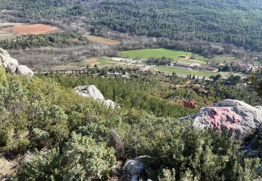
Trail Other activity of 19 km to be discovered at Provence-Alpes-Côte d'Azur, Bouches-du-Rhône, Beaurecueil. This trail is proposed by didier13190.
Positioning
Country:
France
Region :
Provence-Alpes-Côte d'Azur
Department/Province :
Bouches-du-Rhône
Municipality :
Beaurecueil
Location:
Unknown
Start:(Dec)
Start:(UTM)
705856 ; 4821882 (31T) N.
Comments
Trails nearby
Ste Victoire - Le Garagaï
Walking
Difficult
(1)
Saint-Antonin-sur-Bayon,
Provence-Alpes-Côte d'Azur,
Bouches-du-Rhône,
France
4h 36min
Yes
Circuit des lacs Zola et Bimont - Aix-en-Provence
Walking
Medium
(4)
Aix-en-Provence,
Provence-Alpes-Côte d'Azur,
Bouches-du-Rhône,
France
10 km | 13.6 km-effort
2h 30min
Yes
Barrages Zola-Bimont
Walking
Medium
(2)
Saint-Marc-Jaumegarde,
Provence-Alpes-Côte d'Azur,
Bouches-du-Rhône,
France
8 km | 11 km-effort
2h 30min
Yes
Le Signal, Montagne Sainte-Victoire
Walking
Medium
(2)
Vauvenargues,
Provence-Alpes-Côte d'Azur,
Bouches-du-Rhône,
France
15 km | 25 km-effort
6h 19min
Yes
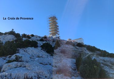
La Croix de Provence depuis le barrage de Bimont
Walking
Difficult
(1)
Saint-Marc-Jaumegarde,
Provence-Alpes-Côte d'Azur,
Bouches-du-Rhône,
France
13.9 km | 24 km-effort
4h 45min
Yes
2023-02-10 Sainte Victoire Bau des Vespres
Walking
Difficult
Saint-Antonin-sur-Bayon,
Provence-Alpes-Côte d'Azur,
Bouches-du-Rhône,
France
10 km | 18.8 km-effort
3h 30min
Yes
Sentier des Venturiers
On foot
Easy
Vauvenargues,
Provence-Alpes-Côte d'Azur,
Bouches-du-Rhône,
France
5 km | 10.5 km-effort
2h 23min
No
Sentier Imoucha
On foot
Easy
Beaurecueil,
Provence-Alpes-Côte d'Azur,
Bouches-du-Rhône,
France
4.4 km | 10.1 km-effort
2h 17min
No
Bibemus - Lac Zola 1-1-21
Walking
Medium
(1)
Le Tholonet,
Provence-Alpes-Côte d'Azur,
Bouches-du-Rhône,
France
7.6 km | 10.4 km-effort
2h 21min
No
450 mètres de dénivelé positif !!
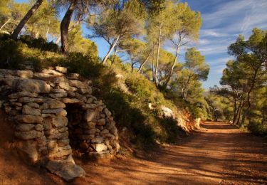
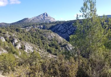
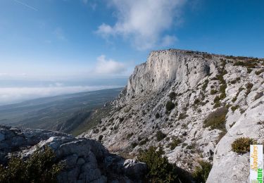
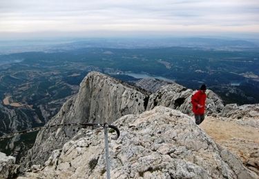
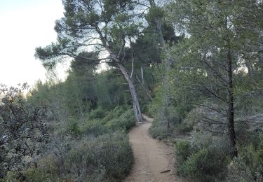
RANDO avec mes enfants sportifs.Parcours top !!! De la montée au départ mais vallonné.Passage par barrage Bimont.Puis chemins forêt superbes avec qq monotaces.De superbes paysages.Note 8.5/10