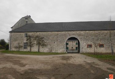
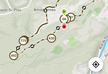
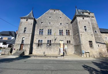
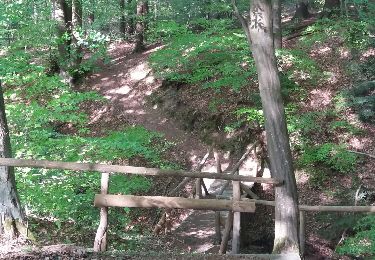
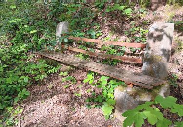
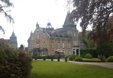
4.4 km | 5.9 km-effort
Hody
Minos39a
User
Length
12.7 km
Max alt
290 m
Uphill gradient
287 m
Km-Effort
16.5 km
Min alt
208 m
Downhill gradient
286 m
Boucle
Yes
Creation date :
2017-04-21 00:00:00.0
Updated on :
2017-04-21 00:00:00.0
3h20
Difficulty : Unknown
FREE GPS app for hiking
About
Trail Walking of 12.7 km to be discovered at Wallonia, Liège, Anthisnes. This trail is proposed by Minos39a.
Description
Promenade vallonnée en partie sur le GR
Positioning
Country:
Belgium
Region :
Wallonia
Department/Province :
Liège
Municipality :
Anthisnes
Location:
Hody
Start:(Dec)
Start:(UTM)
677318 ; 5595692 (31U) N.
Comments
Trails nearby
RB-Lg-18_Tavier
Walking
Very difficult
(10)
Anthisnes,
Wallonia,
Liège,
Belgium
22 km | 28 km-effort
6h 19min
Yes
2024-07-24_09h57m26_itin-raire-1-esneux
Walking
Medium
(2)
Esneux,
Wallonia,
Liège,
Belgium
6.4 km | 8.6 km-effort
1h 56min
Yes
Anthines - AS03 - Boucle de Tolumont - Losange Bleu
Walking
Medium
(2)
Anthisnes,
Wallonia,
Liège,
Belgium
13.9 km | 18.2 km-effort
2h 56min
Yes
AS03 Boucle de Tolumont
On foot
Medium
(1)
Anthisnes,
Wallonia,
Liège,
Belgium
13.4 km | 17.6 km-effort
3h 20min
Yes
arboretum parc mary . vallée pisserotte . carrière . ry d'oneux
Walking
Easy
(2)
Esneux,
Wallonia,
Liège,
Belgium
9.5 km | 12.8 km-effort
2h 5min
Yes
autour du parc du Mary - variante
Walking
Easy
(1)
Esneux,
Wallonia,
Liège,
Belgium
9 km | 11.9 km-effort
2h 50min
Yes
Test pédestre 31 aout
Walking
Medium
(1)
Esneux,
Wallonia,
Liège,
Belgium
6.9 km | 8.6 km-effort
1h 31min
Yes
Hody . drive d Anthisnes . carrière . Targnon . Hestreux . Fond de Sart . Hody
Walking
Easy
(1)
Anthisnes,
Wallonia,
Liège,
Belgium
11.5 km | 14.2 km-effort
3h 6min
Yes