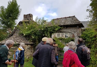
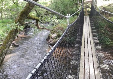
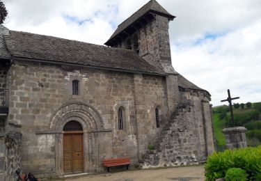
Trail Walking Argences en Aubrac - St Gilles La Cadène-Orlaguet - Photo

St Gilles La Cadène-Orlaguet

© OpenStreetMap contributors
Length
Length
7.3 km
Max alt
Max alt
786 m
Uphill gradient
Uphill gradient
302 m
Km-Effort
Km-Effort  
10.6 km
Min alt
Min alt
564 m
Downhill gradient
Downhill gradient
91 m
Boucle
Boucle
No
Creation date :
2017-04-18 00:00:00.0
Updated on :
2017-04-18 00:00:00.0

(0 Reviews)

Walking
Walking
2h23
Difficulty : Easy

Scan this QR Code to open this trail in the SityTrail application

FREE GPS app for hiking

Logo SityTrail SityTrail

IGN / Geographical institutes

Download SityTrail from the App Store Download SityTrail from Google Play

Logo SityTrail SityTrail World

The world is yours!

Download SityTrail from the App Store Download SityTrail from Google Play Download SityTrail on Huawei AppGallery

About

Trail Walking of 7.3 km to be discovered at Occitania, Aveyron, Argences en Aubrac. This trail is proposed by catherineslater.

Description

Chemins de l'Europe (www.chemins-europe.org). Chemin de Saint Gilles Aurillac-Aubrac: section La Cadène-Orlaguet

Elevation profile

Positioning

Country:
France
Region :
Occitania
Department/Province :
Aveyron
Municipality :
Argences en Aubrac
Location:
Unknown
Start:(UTM)
478129 ; 4963545 (31T) N.

Trails nearby

Trail Walking Argences en Aubrac - Durbec - Alpuech - Photo
Walking
catherineslater

Walking

Very easy
Argences en Aubrac, Occitania, Aveyron, France
7.5 km | 9.9 km-effort
3h 17min
No
Trail Walking Argences en Aubrac -  Boucle des baltuergues à St Geneviève sur Argence - Photo
Walking
yves12

Walking

Difficult
Argences en Aubrac, Occitania, Aveyron, France
24 km | 33 km-effort
5h 56min
Yes
Trail Road bike Argences en Aubrac - sainte Geneviève sur Argence - Photo
Road bike
Jean-Marie Bousquet

Road bike

Medium
Argences en Aubrac, Occitania, Aveyron, France
64 km | 80 km-effort
3h 53min
Yes
Trail Walking Argences en Aubrac - Ste Geneviève - Photo
Walking
bouscaillou

Walking

Very difficult
Argences en Aubrac, Occitania, Aveyron, France
25 km | 34 km-effort
8h 22min
Yes
Trail On foot Mur-de-Barrez - liaison Thérondels - Mur-de-Barrez - Photo
On foot
GUIDE+

On foot

Easy
Mur-de-Barrez, Occitania, Aveyron, France
3 km | 4 km-effort
54min
No
Trail Walking Mur-de-Barrez - Mur de Barez - Photo
Walking
bougnaou

Walking

Medium
Mur-de-Barrez, Occitania, Aveyron, France
17 km | 0 m-effort
3h 36min
Yes
Trail Walking Mur-de-Barrez - Saint Gilles Mur-La Cadène  - Photo
Walking
catherineslater

Walking

Very easy
Mur-de-Barrez, Occitania, Aveyron, France
12.3 km | 15.9 km-effort
3h 26min
No
Trail Walking Lacroix-Barrez - bars vilherols aveyron  - Photo
Walking
josy31

Walking

Easy
Lacroix-Barrez, Occitania, Aveyron, France
4.6 km | 6.4 km-effort
1h 39min
Yes
Trail Walking Brommat - BROMMAT _ Au fil de l'eau - Photo
Walking
Elbe

Walking

Medium
Brommat, Occitania, Aveyron, France
4.6 km | 6.4 km-effort
1h 30min
Yes


Close
My subscriptions