17.3 km | 24 km-effort
Waldeck - Bitche - Mouterhouse
JPMEGEL
User
Length
42 km
Max alt
389 m
Uphill gradient
717 m
Km-Effort
51 km
Min alt
209 m
Downhill gradient
717 m
Boucle
Yes
Creation date :
2017-04-09 00:00:00.0
Updated on :
2017-04-09 00:00:00.0
2h09
Difficulty : Difficult
FREE GPS app for hiking
About
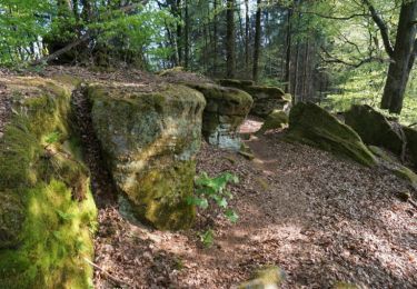
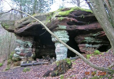
Trail Mountain bike of 42 km to be discovered at Grand Est, Moselle, Éguelshardt. This trail is proposed by JPMEGEL.
Description
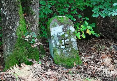
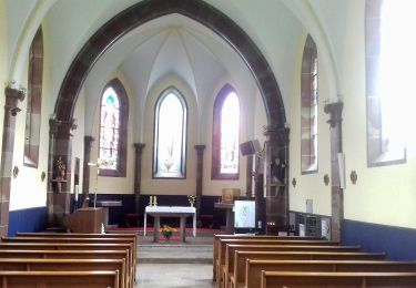
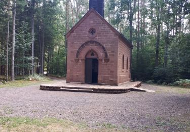
Sortie avec visite du chateau du Waldeck et de la chapelle de notre dame des bois.
Positioning
Country:
France
Region :
Grand Est
Department/Province :
Moselle
Municipality :
Éguelshardt
Location:
Unknown
Start:(Dec)
Start:(UTM)
389754 ; 5430862 (32U) N.
Comments
Trails nearby
Etang de Hasselfurth et Hochkopf - Bitche
Walking
Medium
(1)
Bitche,
Grand Est,
Moselle,
France
7.8 km | 10.1 km-effort
2h 0min
Yes
Circuit panoramique de Bitche
Walking
Medium
(2)
Bitche,
Grand Est,
Moselle,
France
12.7 km | 16.7 km-effort
3h 25min
Yes
Les 3 châteaux : Falkenstein, Rothenbourg, Waldeck
Walking
Difficult
(1)
Philippsbourg,
Grand Est,
Moselle,
France
16.1 km | 22 km-effort
4h 25min
Yes
Yellow ring
On foot
Easy
Baerenthal,
Grand Est,
Moselle,
France
12.3 km | 15.3 km-effort
3h 28min
Yes
Yellow triangle
On foot
Easy
Philippsbourg,
Grand Est,
Moselle,
France
11.8 km | 15.5 km-effort
3h 30min
No
Blue triangle
On foot
Easy
Philippsbourg,
Grand Est,
Moselle,
France
11.2 km | 13.2 km-effort
3h 0min
No
Yellow cross
On foot
Easy
Mouterhouse,
Grand Est,
Moselle,
France
9.9 km | 14.4 km-effort
3h 16min
No