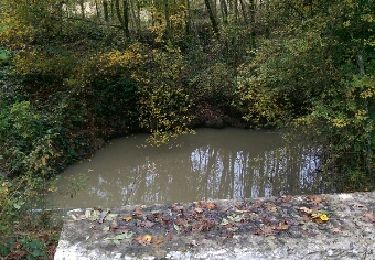
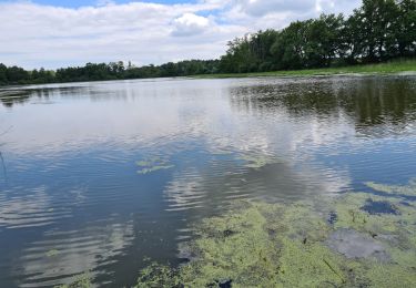
Trail Mountain bike Le Montellier - tour des étangs - Photo
 michem
michem

User

© OpenStreetMap contributors
Length
Length
14.9 km
Max alt
Max alt
296 m
Uphill gradient
Uphill gradient
107 m
Km-Effort
Km-Effort  
16.3 km
Min alt
Min alt
277 m
Downhill gradient
Downhill gradient
109 m
Boucle
Boucle
Yes
Creation date :
2017-04-09 00:00:00.0
Updated on :
2017-04-09 00:00:00.0

(0 Reviews)

Mountain bike
Mountain bike
2h00
Difficulty : Easy

Scan this QR Code to open this trail in the SityTrail application

FREE GPS app for hiking

Logo SityTrail SityTrail

IGN / Geographical institutes

Download SityTrail from the App Store Download SityTrail from Google Play

Logo SityTrail SityTrail World

The world is yours!

Download SityTrail from the App Store Download SityTrail from Google Play Download SityTrail on Huawei AppGallery

About

Trail Mountain bike of 14.9 km to be discovered at Auvergne-Rhône-Alpes, Ain, Le Montellier. This trail is proposed by michem.

Elevation profile

Positioning

Country:
France
Region :
Auvergne-Rhône-Alpes
Department/Province :
Ain
Municipality :
Le Montellier
Location:
Unknown
Start:(UTM)
660623 ; 5088372 (31T) N.

Trails nearby

Trail Walking Joyeux - 11 lacs dans les Dombes. - Photo
Walking
pffrench

Walking

Very easy
(2)
Joyeux, Auvergne-Rhône-Alpes, Ain, France
11 km | 12.1 km-effort
2h 57min
Yes
Trail Walking Le Montellier - LES ONZES ETANGS - Photo
Walking
JBARDIN

Walking

Very easy
(3)
Le Montellier, Auvergne-Rhône-Alpes, Ain, France
10.5 km | 11.5 km-effort
Unknown
Yes
Trail Motor Villars-les-Dombes - sortie yves pauget 08/2024 - Photo
Motor
michelrongier

Motor

Very easy
Villars-les-Dombes, Auvergne-Rhône-Alpes, Ain, France
64 km | 72 km-effort
Unknown
Yes
Trail Motorbike Birieux - Moto - Photo
Motorbike
frederic@comby.eu

Motorbike

Medium
Birieux, Auvergne-Rhône-Alpes, Ain, France
45 km | 51 km-effort
54min
Yes
Trail Walking Le Montellier - Chateau de Montellier 11 Etangs - Photo
Walking
0660719777

Walking

Difficult
Le Montellier, Auvergne-Rhône-Alpes, Ain, France
11.7 km | 12.7 km-effort
5h 1min
Yes
Trail Walking Joyeux - Joyeux - Photo
Walking
Val Cha

Walking

Very easy
Joyeux, Auvergne-Rhône-Alpes, Ain, France
10.3 km | 11.3 km-effort
2h 28min
Yes
Trail Walking Le Montellier - Joyeux - Photo
Walking
Val Cha

Walking

Easy
Le Montellier, Auvergne-Rhône-Alpes, Ain, France
10.5 km | 11.5 km-effort
2h 48min
Yes
Trail Cycle Sainte-Croix - Ste Croix N° 3 - Photo
Cycle
Claudyo

Cycle

Difficult
Sainte-Croix, Auvergne-Rhône-Alpes, Ain, France
97 km | 109 km-effort
6h 0min
Yes
Trail Cycle Sainte-Croix - Ste Croix N° 2 - Photo
Cycle
Claudyo

Cycle

Medium
Sainte-Croix, Auvergne-Rhône-Alpes, Ain, France
96 km | 106 km-effort
6h 0min
Yes


Close
My subscriptions