


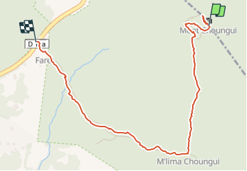

4.3 km | 7 km-effort

User


FREE GPS app for hiking
 SityTrail
IGN / Geographical institutes
SityTrail World
The world is yours!
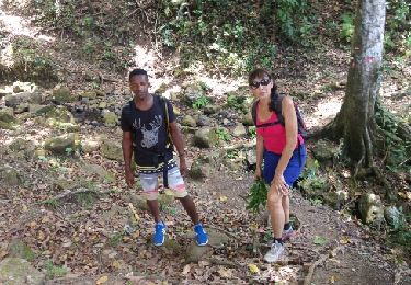
Trail Walking of 1.5 km to be discovered at Mayotte, Unknown, Kani-Kéli. This trail is proposed by olive2b.
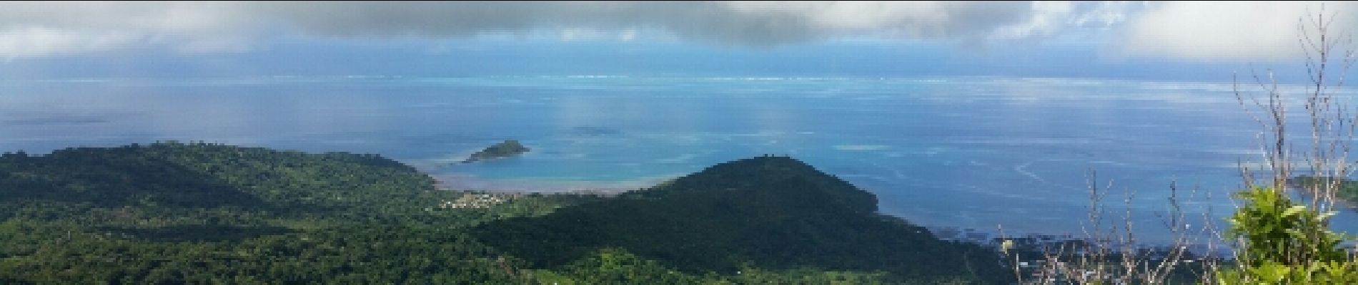
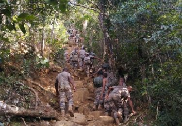
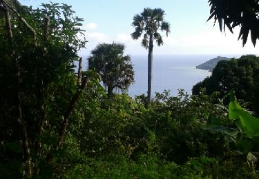
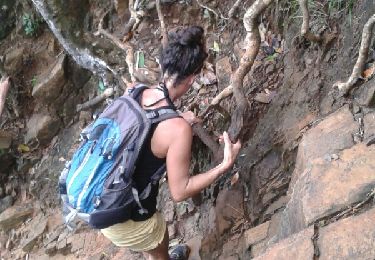
Randonnée sur le Mont Mlima Choungui. A faire hors période de pluie. Terrain glissant et très raide. Il faut s'accrocher aux racines pour descendre. Faire très attention.


Walking
Walking
Walking
Walking
Walking

Trail

Walking