


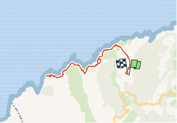


21 km | 31 km-effort


User


FREE GPS app for hiking
 SityTrail
IGN / Geographical institutes
SityTrail World
The world is yours!
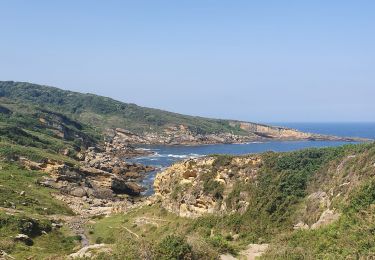
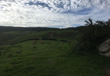
Trail Walking of 8.9 km to be discovered at Autonomous Community of the Basque Country, Gipuzkoa, Hondarribia/Fontarrabie. This trail is proposed by jysc238.
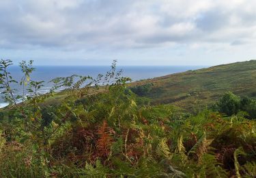
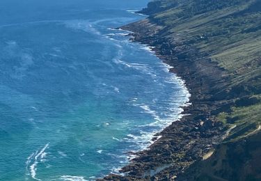
Départ depuis le practice du golf de Fontarrabie. Trajet en A/R pour aller visiter le site des Paramoudras (curiosité géologique unique sur le continent)

Walking
Walking
Walking
Walking
Walking
Walking
Walking

Walking
Walking