Trail Other activity Pindamonhangaba - Mandu - Photo
 acerola
acerola

User

© OpenStreetMap contributors
Length
Length
19 km
Max alt
Max alt
600 m
Uphill gradient
Uphill gradient
243 m
Km-Effort
Km-Effort  
22 km
Min alt
Min alt
537 m
Downhill gradient
Downhill gradient
219 m
Boucle
Boucle
No
Creation date :
2017-03-28 00:00:00.0
Updated on :
2017-03-28 00:00:00.0

(0 Reviews)

Other activity
Other activity
4h54
Difficulty : Unknown

Scan this QR Code to open this trail in the SityTrail application

FREE GPS app for hiking

Logo SityTrail SityTrail

IGN / Geographical institutes

Download SityTrail from the App Store Download SityTrail from Google Play

Logo SityTrail SityTrail World

The world is yours!

Download SityTrail from the App Store Download SityTrail from Google Play Download SityTrail on Huawei AppGallery

About

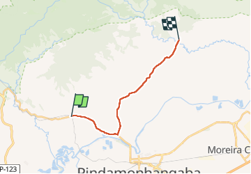
Trail Other activity of 19 km to be discovered at São Paulo, Região Metropolitana do Vale do Paraíba e Litoral Norte, Pindamonhangaba. This trail is proposed by acerola.

Elevation profile

Positioning

Country:
Brazil
Region :
São Paulo
Department/Province :
Região Metropolitana do Vale do Paraíba e Litoral Norte
Municipality :
Pindamonhangaba
Location:
Pindamonhangaba
Start:(UTM)
445731 ; 7469139 (23K) S.

Trails nearby

Trail Other activity Pindamonhangaba - Mandu - Photo
Other activity
acerola

Other activity

Very easy
Pindamonhangaba, São Paulo, Região Metropolitana do Vale do Paraíba e Litoral Norte, Brazil
19 km | 22 km-effort
4h 54min
No
Trail Other activity Pindamonhangaba - Mandu - Photo
Other activity
acerola

Other activity

Very easy
Pindamonhangaba, São Paulo, Região Metropolitana do Vale do Paraíba e Litoral Norte, Brazil
19 km | 22 km-effort
4h 54min
No


Close
My subscriptions