


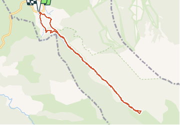

24 km | 43 km-effort

User


FREE GPS app for hiking
 SityTrail
IGN / Geographical institutes
SityTrail World
The world is yours!
Trail Snowshoes of 9.7 km to be discovered at Occitania, Pyrénées-Orientales, Eyne. This trail is proposed by jpipacific.
De magnifiques points de vue sur Fond Romeu et la chaîne des montagnes de derrière La Calme. Le chemin monte tout le temps mais pas trop.


Walking

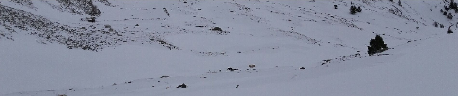
Snowshoes

Walking

Snowshoes

Walking

Walking

Walking

Mountain bike

Walking