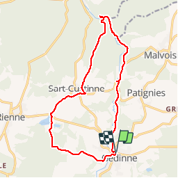

22 km | 28 km-effort


User


FREE GPS app for hiking
 SityTrail
IGN / Geographical institutes
SityTrail World
The world is yours!
Trail Walking of 15.1 km to be discovered at Wallonia, Namur, Gedinne. This trail is proposed by GerardBouche.
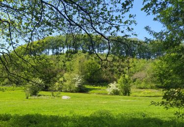
Très beau parcours ombragé le long des méandres de la Houille en direction de Vencimont. Le retour par le village de Sart-Custinne et les étangs de Boiron
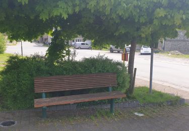
 - Photo 1")
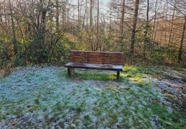
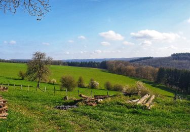
 - Photo 2")
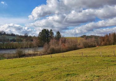
 - Photo 3")
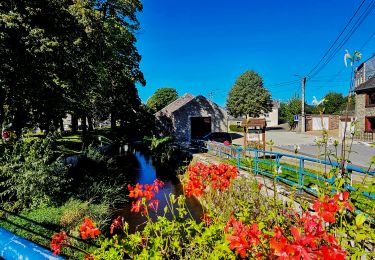
 - Photo 4")
 - Photo 5")

Walking

Walking
Walking
Walking
Walking
Walking
Walking

On foot