


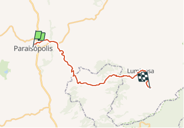


33 km | 50 km-effort

User


FREE GPS app for hiking
 SityTrail
IGN / Geographical institutes
SityTrail World
The world is yours!
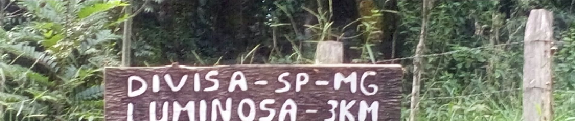
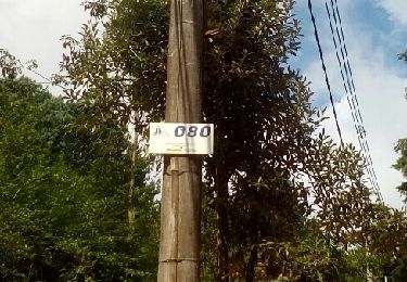
Trail Other activity of 28 km to be discovered at Minas Gerais, Unknown, Paraisópolis. This trail is proposed by acerola.


Other activity