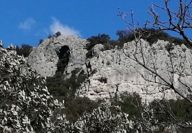
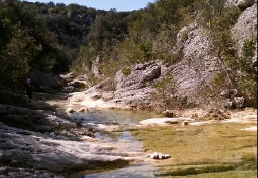
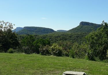
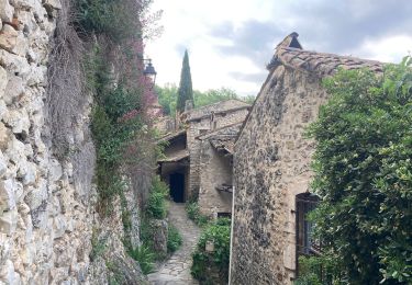
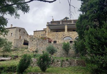
10.4 km | 14.9 km-effort
VTT GARD 2017 J1
Mariolebeno
User
Length
41 km
Max alt
361 m
Uphill gradient
811 m
Km-Effort
52 km
Min alt
114 m
Downhill gradient
849 m
Boucle
No
Creation date :
2017-05-11 00:00:00.0
Updated on :
2017-05-11 00:00:00.0
3h18
Difficulty : Very difficult
FREE GPS app for hiking
About
Trail Mountain bike of 41 km to be discovered at Occitania, Gard, Rivières. This trail is proposed by Mariolebeno.
Description
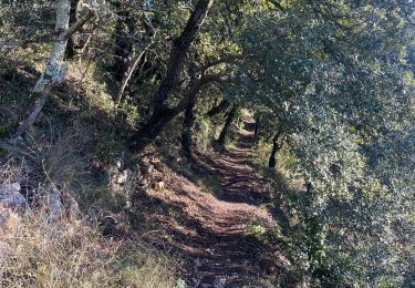
attention portion de portage un peu acrobatique du genre câble à main gauche et vélo sur l'épaule droite ...
A part ça,un circuit magnifique
Positioning
Country:
France
Region :
Occitania
Department/Province :
Gard
Municipality :
Rivières
Location:
Unknown
Start:(Dec)
Start:(UTM)
603700 ; 4896268 (31T) N.
Comments
Trails nearby
Les Aiguiéres au départ de Call
Walking
Difficult
(1)
Navacelles,
Occitania,
Gard,
France
4h 39min
Yes
château d allègre aiguieres
Walking
Medium
(1)
Allègre-les-Fumades,
Occitania,
Gard,
France
16.9 km | 25 km-effort
6h 10min
Yes
Aiguieres par Cal
Walking
Medium
(2)
Navacelles,
Occitania,
Gard,
France
8.9 km | 12.6 km-effort
2h 20min
Yes
Château d'Allegre / Aiguières
Walking
Difficult
Navacelles,
Occitania,
Gard,
France
20 km | 29 km-effort
7h 18min
Yes
ROCHEGUDE - GROTTE DES CAMISARDS
Walking
Medium
Rochegude,
Occitania,
Gard,
France
5 km | 7.6 km-effort
1h 43min
Yes
231203_Rivières
Walking
Difficult
Rivières,
Occitania,
Gard,
France
15.4 km | 18.9 km-effort
5h 43min
Yes
mejannes le clap
Walking
Medium
Méjannes-le-Clap,
Occitania,
Gard,
France
14.4 km | 19.3 km-effort
5h 19min
Yes