


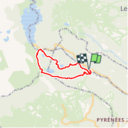

13.3 km | 19.3 km-effort

User


FREE GPS app for hiking
 SityTrail
IGN / Geographical institutes
SityTrail World
The world is yours!
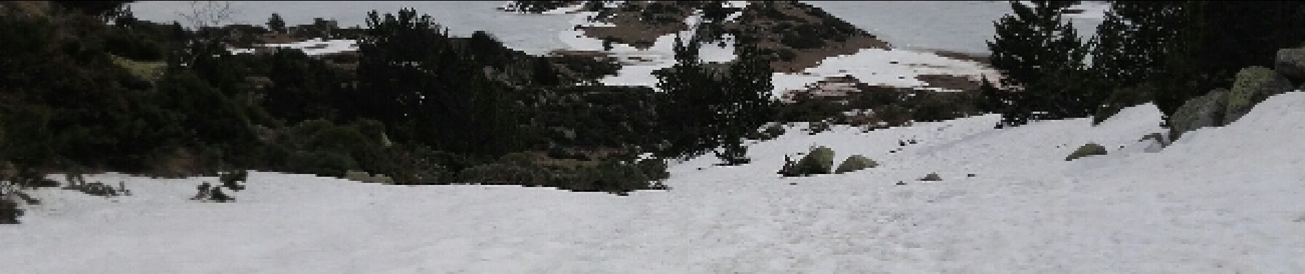
Trail Snowshoes of 10.8 km to be discovered at Occitania, Pyrénées-Orientales, La Llagonne. This trail is proposed by jpipacific.
Dans ce sens la montée est rude et ne faiblit pas jusqu'en haut. Rando plus facile dans l'autre sens. Autrement rando dans les sous bois avec ruisseaux. Les arrivées aux lacs sont de bonnes surprises. A Bouillouse belles vues sur les montagnes.


Walking

Snowshoes

Snowshoes

Walking

Walking

Snowshoes

Walking

Walking

Walking