


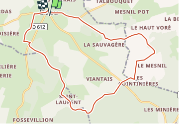

10.6 km | 13.5 km-effort

User


FREE GPS app for hiking
 SityTrail
IGN / Geographical institutes
SityTrail World
The world is yours!
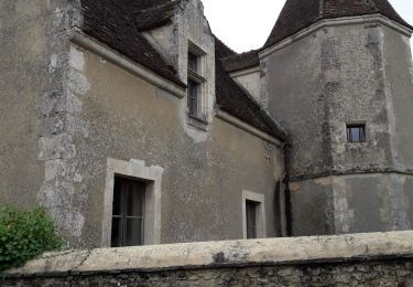
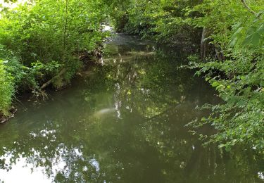
Trail Walking of 10.1 km to be discovered at Normandy, Orne, Bizou. This trail is proposed by ODDAD78.
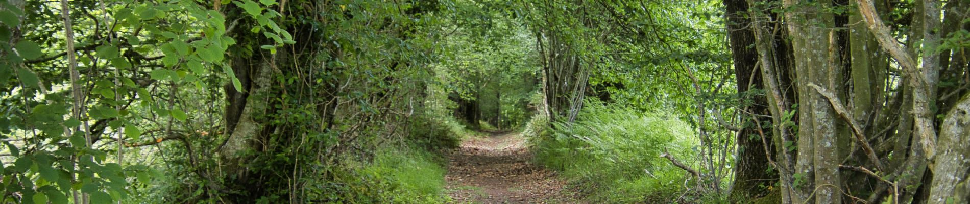
Une variante du PR 'Les Sables du Perche" qui, en contournant la Pannetière emprunte un chemin bordé de très beaux arbres
Les sables du Perche sur Sitytrail :
https://www.sitytrail.com/fr/trails/3673978-bizou--bizou-x-les-sables-du-perche-9x2-kmm/


Walking
![Trail Walking Longny les Villages - [Itinéraire] La Brisardière - Photo](https://media.geolcdn.com/t/375/260/19108d03-3d8a-43b4-b05b-172408edde68.jpeg&format=jpg&maxdim=2)
Walking
![Trail Walking Bizou - [Itinéraire] Les sables du Perche - Photo](https://media.geolcdn.com/t/375/260/6b586e88-fad3-40df-be07-9b2a61186b9b.jpeg&format=jpg&maxdim=2)
Walking

On foot
Walking
Walking
Walking
Walking
Walking