


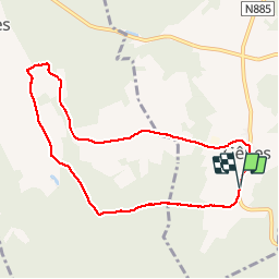

8.8 km | 11.5 km-effort


User


FREE GPS app for hiking
 SityTrail
IGN / Geographical institutes
SityTrail World
The world is yours!
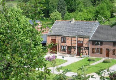
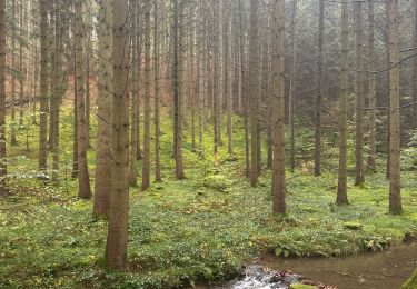
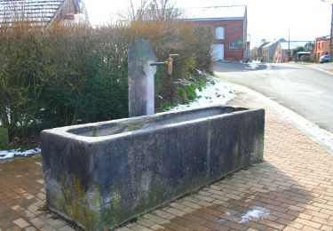
Trail Walking of 7.6 km to be discovered at Wallonia, Luxembourg, Rendeux. This trail is proposed by Januitcielle.
Er zijn vele plassen met veel waterleven, fantastisch! Als het veel geregend heeft is een groot deel van de wegjes in het begin een beek geworden.

Walking

Walking
Walking
Walking
On foot
On foot
Walking

Walking
Walking
eerste 500 m in het bis is het pad kapotgereden door tractors en staat het pad onder water. je kan erlangs lopen.
84.150