


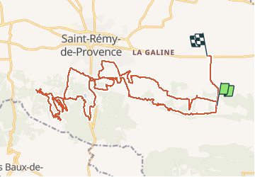

10.3 km | 14 km-effort


User


FREE GPS app for hiking
 SityTrail
IGN / Geographical institutes
SityTrail World
The world is yours!
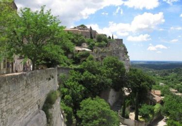
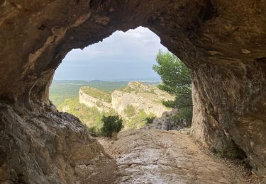
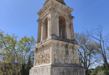
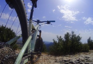
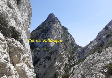
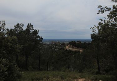
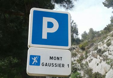
Trail Mountain bike of 35 km to be discovered at Provence-Alpes-Côte d'Azur, Bouches-du-Rhône, Saint-Rémy-de-Provence. This trail is proposed by SabetMick.
Superbe parcours mixte 25-35km. pleins de monotrace ludique et complètement atypique. Attention n'oubliez pas vos jambes car c'est une rando difficile et engageante, mais tellement magnifique...

Walking
Mountain bike
Walking

Walking
Walking
Mountain bike
Walking
Mountain bike
Walking