Compostelle 2 calzada de Béjart SityTrail > Trails > Outdoor > Spain > Extremadura > Cáceres > Aldeanueva del Camino SityTrail > Trails > Outdoor > Spain > Extremadura > Cáceres > Aldeanueva del Camino Compostelle 2 calzada de Béjart eric1955 User 3D © OpenStreetMap contributors Length 22 km Max alt 900 m Uphill gradient 559 m Km-Effort 29 km Min alt 521 m Downhill gradient 299 m Boucle No Creation date : 2017-03-18 00:00:00.0 Updated on : 2017-03-18 00:00:00.0 (0 Reviews) Other activity 4h40 Difficulty : Very easy FREE GPS app for hiking SityTrail IGN / Geographical institutes SityTrail World The world is yours! About 
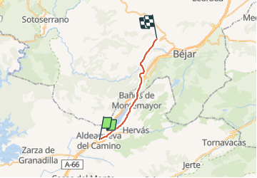
Trail Other activity of 22 km to be discovered at Extremadura, Cáceres, Aldeanueva del Camino. This trail is proposed by eric1955. Legends | More details (PDF) Elevation profile Legends > 15% 15% - 10% 10% - 5% flat 5% - 10% 10% - 15% 15% - 30% > 30% Positioning Country: Spain Region : Extremadura Department/Province : Cáceres Municipality : Aldeanueva del Camino Location: Unknown Start:(Dec) 40.259461 / -5.928045 Start:(UTM) 250993 ; 4460669 (30T) N. Comments Please log in to post a review or rate the element Trails nearby GUIDE+ Collado de Enmedio On foot Easy Gargantilla, Extremadura, Cáceres, Spain 5.9 km | 10.1 km-effort 2h 17min No berlage 20 Béjar Hostal Extremeño Walking Difficult Aldeanueva del Camino, Extremadura, Cáceres, Spain 26 km | 34 km-effort 6h 55min No sjacques65 220912A Car Very easy Aldeanueva del Camino, Extremadura, Cáceres, Spain 10.7 km | 15.9 km-effort 3min No