


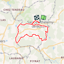


13.5 km | 16.6 km-effort


User


FREE GPS app for hiking
 SityTrail
IGN / Geographical institutes
SityTrail World
The world is yours!
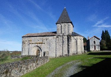
Trail Walking of 14.5 km to be discovered at New Aquitaine, Dordogne, Saint-Barthélemy-de-Bussière. This trail is proposed by rougilabuse.
Je l'ai classé moyenne par son dénivelée.
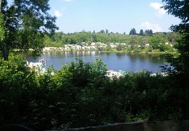
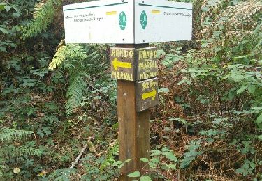
Cette rando conjugue 3 parcours au départ la boucle du bourg puis la boucle de Lamorinie puis celle du Chatenet on termine avec la boucle du bourg.
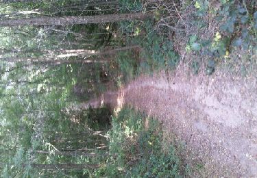
le dénivelé est intéressante. il permet appréciez de jolies panoramas. Cette rando est à conseiller à faire quand les arbres sont feuillés. Beaucoup de parcours en forêt.
Walking
Walking
Mountain bike

Walking
Walking

Mountain bike
Mountain bike
Mountain bike
Mountain bike