


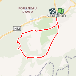


7.6 km | 9.8 km-effort


User


FREE GPS app for hiking
 SityTrail
IGN / Geographical institutes
SityTrail World
The world is yours!
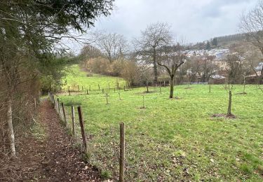
Trail Walking of 5.8 km to be discovered at Wallonia, Luxembourg, Saint-Léger. This trail is proposed by jfmarseaut.
Marche de mise en forme cardio.
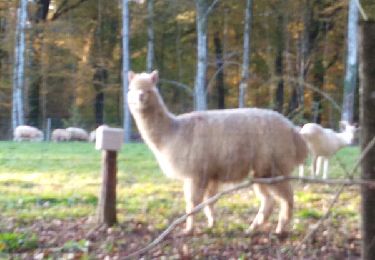
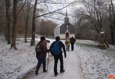
Très calme pour la mise en jambe jusqu'à Trimetrichet, puis augmentation constante du dénivelé pour arriver au sommet après la sapinière. On traverse 2 prairies dans ce circuit, pas d'inquiétude à avoir. Le haut de la sapini§re est par contre mal débardé et la montée se termine en apothéose en parcours de santé au dessus des rondins de sapins. La vue en haut vaut par contre vraiment le coup d'oeil.

Walking
Mountain bike
Walking
On foot

On foot

Walking
Walking

Walking
Walking