


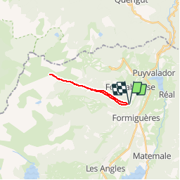

13.1 km | 26 km-effort

User


FREE GPS app for hiking
 SityTrail
IGN / Geographical institutes
SityTrail World
The world is yours!
Trail Snowshoes of 15.3 km to be discovered at Occitania, Pyrénées-Orientales, Fontrabiouse. This trail is proposed by jpipacific.
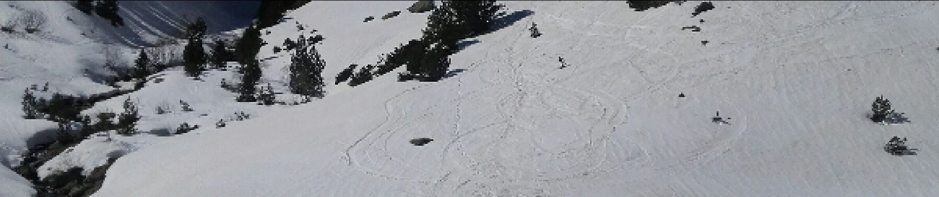
Rando magnifique sur la deuxième partie. Un peu sportif seulement après le 2ieme refuge. Le reste du temps c'est sans effort mais le retour un peu long. Raquettes obligatoires après le 2ieme refuge (mois de mars)


Snowshoes

Walking


sport

Walking

Walking

Walking

Snowshoes

Snowshoes
Snowshoes