


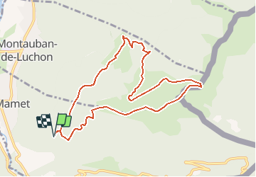

7.1 km | 12.5 km-effort


User


FREE GPS app for hiking
 SityTrail
IGN / Geographical institutes
SityTrail World
The world is yours!
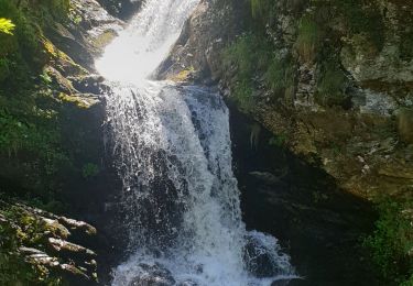
Trail Walking of 10.4 km to be discovered at Occitania, Haute-Garonne, Saint-Mamet. This trail is proposed by Rouzier.
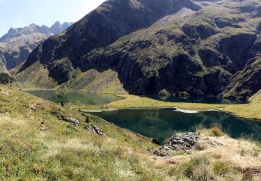
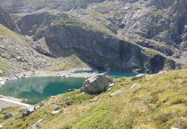
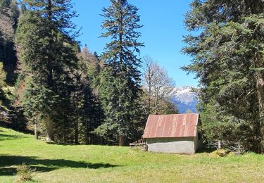
Grand virage(1150m),cabanes de Herran, Courrau Viel, Hours , Millourtère ,Soum de la Laque(1900m),Mail de Cris,Courrau des Pougès

Snowshoes

Walking

Mountain bike

Walking
On foot

Walking
Walking
Walking
Walking