

Trace Gour de la Sompe

Pacekall
User

Length
13.2 km

Max alt
317 m

Uphill gradient
260 m

Km-Effort
16.7 km

Min alt
163 m

Downhill gradient
260 m
Boucle
Yes
Creation date :
2017-03-13 00:00:00.0
Updated on :
2017-03-13 00:00:00.0
3h37
Difficulty : Easy

FREE GPS app for hiking
About
Trail Walking of 13.2 km to be discovered at Auvergne-Rhône-Alpes, Ardèche, Lagorce. This trail is proposed by Pacekall.
Description
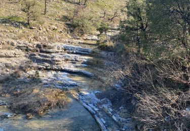
Rando dans les buis et chênes verts. Une partie se fait dans le lit d'un ruisseau. Dernier quart de la rando moins bucolique, possibilité de couper.
Positioning
Country:
France
Region :
Auvergne-Rhône-Alpes
Department/Province :
Ardèche
Municipality :
Lagorce
Location:
Unknown
Start:(Dec)
Start:(UTM)
612730 ; 4925082 (31T) N.
Comments
Trails nearby
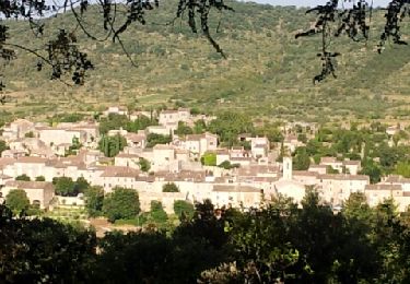
Lagorce


Nordic walking
Medium
(1)
Lagorce,
Auvergne-Rhône-Alpes,
Ardèche,
France

8.7 km | 12.6 km-effort
2h 14min
Yes
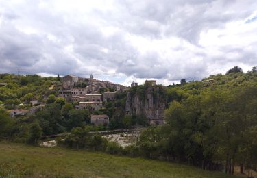
camping le coin charmant Chauzon à Balazuc


Walking
Medium
Chauzon,
Auvergne-Rhône-Alpes,
Ardèche,
France

13.4 km | 19.2 km-effort
3h 8min
Yes
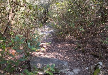
07 baravon 05.03.23


On foot
Easy
Lagorce,
Auvergne-Rhône-Alpes,
Ardèche,
France

9.3 km | 14.2 km-effort
3h 13min
Yes
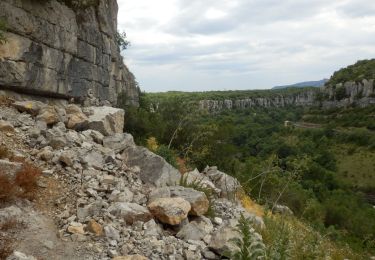
Pradons Gens Abeille 18km


Walking
Difficult
Pradons,
Auvergne-Rhône-Alpes,
Ardèche,
France

18.9 km | 26 km-effort
5h 50min
Yes
Balazuc la tour de Jeanne le Viel Audon


sport
Very easy
Balazuc,
Auvergne-Rhône-Alpes,
Ardèche,
France

8.5 km | 12.3 km-effort
Unknown
Yes
07_pradons_9km260m


Walking
Easy
Pradons,
Auvergne-Rhône-Alpes,
Ardèche,
France

9.3 km | 12.9 km-effort
2h 57min
Yes
07_balazuc_5km210m


Walking
Easy
Balazuc,
Auvergne-Rhône-Alpes,
Ardèche,
France

5.2 km | 8 km-effort
1h 45min
Yes
07 balazuc cirque gens zel 16.03.2023


Walking
Medium
Balazuc,
Auvergne-Rhône-Alpes,
Ardèche,
France

15.8 km | 21 km-effort
6h 20min
Yes
Les crêtes du grand travers Balazuc


Walking
Very difficult
Balazuc,
Auvergne-Rhône-Alpes,
Ardèche,
France

16.4 km | 22 km-effort
5h 18min
Yes


 SityTrail


