


Compostelle 2 valdesasor

eric1955
User

Length
26 km

Max alt
451 m

Uphill gradient
158 m
Km-Effort
29 km

Min alt
368 m

Downhill gradient
220 m
Boucle
No
Creation date :
2017-03-12 00:00:00.0
Updated on :
2017-03-12 00:00:00.0
4h47
Difficulty : Very easy

FREE GPS app for hiking
 SityTrail
IGN / Geographical institutes
SityTrail World
The world is yours!
About
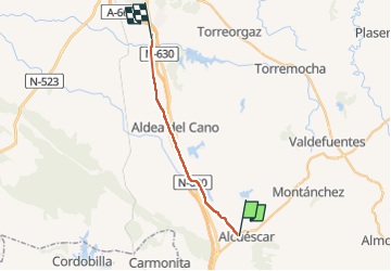
Trail Other activity of 26 km to be discovered at Extremadura, Cáceres. This trail is proposed by eric1955.
Positioning
Country:
Spain
Region :
Extremadura
Department/Province :
Cáceres
Municipality :
Unknown
Location:
Unknown
Start:(Dec)
Start:(UTM)
738710 ; 4340584 (29S) N.
Comments
Trails nearby