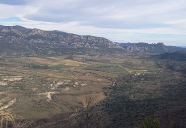
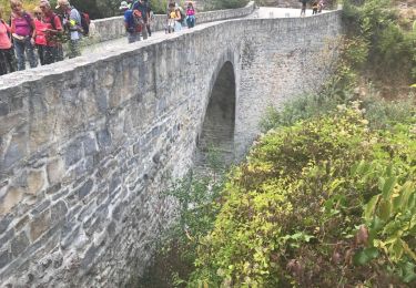
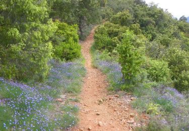
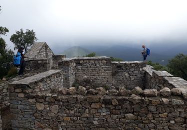
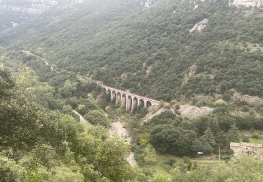
Trail Walking Moulès-et-Baucels - Moules Ranc de bane - Photo
 Manontom
Manontom

User

© OpenStreetMap contributors
Length
Length
14.7 km
Max alt
Max alt
693 m
Uphill gradient
Uphill gradient
608 m
Km-Effort
Km-Effort  
23 km
Min alt
Min alt
176 m
Downhill gradient
Downhill gradient
609 m
Boucle
Boucle
Yes
Creation date :
2017-03-10 00:00:00.0
Updated on :
2017-03-10 00:00:00.0

(1 Reviews)

Walking
Walking
6h49
Difficulty : Difficult

Scan this QR Code to open this trail in the SityTrail application

FREE GPS app for hiking

Logo SityTrail SityTrail

IGN / Geographical institutes

Download SityTrail from the App Store Download SityTrail from Google Play

Logo SityTrail SityTrail World

The world is yours!

Download SityTrail from the App Store Download SityTrail from Google Play Download SityTrail on Huawei AppGallery

About

Trail Walking of 14.7 km to be discovered at Occitania, Hérault, Moulès-et-Baucels. This trail is proposed by Manontom.

Elevation profile

Positioning

Country:
France
Region :
Occitania
Department/Province :
Hérault
Municipality :
Moulès-et-Baucels
Location:
Unknown
Start:(UTM)
558857 ; 4866130 (31T) N.

Comments

Please log in to post a review or rate the element


super parcours que je conseille dans le sens Moules - Roc de banes - sumene. belle vu.


Trails nearby

Trail Walking Laroque - Le Thaurac - Photo
Walking
GUIDE
nadinebondoux

Walking

Medium
(1)
Laroque, Occitania, Hérault, France
11.4 km | 17.1 km-effort
4h 41min
Yes
Trail Walking Ganges - les Mines de Ganges - Photo
Walking
daniel34

Walking

Medium
(4)
Ganges, Occitania, Hérault, France
12 km | 17.5 km-effort
5h 30min
Yes
Trail Walking Sumène - Le Ranc de Banes - Sumène - Photo
Walking
tracegps

Walking

Difficult
(1)
Sumène, Occitania, Gard, France
13.3 km | 24 km-effort
6h 0min
Yes
Trail Walking Laroque - 34 laroque grotte du pin - Photo
Walking
GUIDE
randodyssée

Walking

Medium
Laroque, Occitania, Hérault, France
11.1 km | 16.7 km-effort
5h 41min
Yes
Trail Walking Laroque - laroque - Photo
Walking
Levant

Walking

Difficult
(1)
Laroque, Occitania, Hérault, France
10.8 km | 16.3 km-effort
3h 41min
Yes
Trail On foot Laroque - Thaurac depuis Laroque - Photo
On foot
34christophe

On foot

Easy
(1)
Laroque, Occitania, Hérault, France
11.6 km | 17.8 km-effort
4h 3min
Yes
Trail Walking Sumène - Ranc de Banes et les Jumeaux - Photo
Walking
GUIDE
nadinebondoux

Walking

Difficult
Sumène, Occitania, Gard, France
17.6 km | 29 km-effort
6h 8min
Yes
Trail Walking Saint-Bauzille-de-Putois - Saint Bauzille de Putois (le Taurac par la grotte des Demoiselles) - Photo
Walking
coulombf

Walking

Medium
(1)
Saint-Bauzille-de-Putois, Occitania, Hérault, France
8.6 km | 12.8 km-effort
2h 48min
Yes
Trail Walking Sumène - Sumene , le pont des chèvres - Photo
Walking
daniel34

Walking

Medium
Sumène, Occitania, Gard, France
10.9 km | 15.3 km-effort
3h 11min
Yes


Close
My subscriptions