


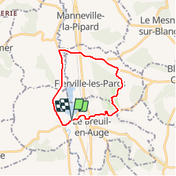

14.8 km | 18.9 km-effort


User


FREE GPS app for hiking
 SityTrail
IGN / Geographical institutes
SityTrail World
The world is yours!
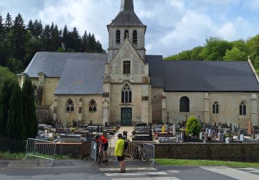
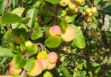
Trail Cycle of 9.9 km to be discovered at Normandy, Calvados, Le Breuil-en-Auge. This trail is proposed by Bernard.voyageur.
velo en Auge; quelques montées difficiles pour les cyclistes en herbe =)

Walking

Walking
Walking
Walking
Walking
Walking
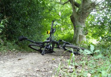
Mountain bike
Walking