Trail Cycle Honfleur - Honfleur - Photo
© OpenStreetMap contributors
Length
Length
8.6 km
Max alt
Max alt
11 m
Uphill gradient
Uphill gradient
46 m
Km-Effort
Km-Effort  
9.2 km
Min alt
Min alt
-1 m
Downhill gradient
Downhill gradient
51 m
Boucle
Boucle
No
Creation date :
2014-12-10 00:00:00.0
Updated on :
2014-12-10 00:00:00.0

(0 Reviews)

Cycle
Cycle
--
Difficulty : Easy

Scan this QR Code to open this trail in the SityTrail application

FREE GPS app for hiking

Logo SityTrail SityTrail

IGN / Geographical institutes

Download SityTrail from the App Store Download SityTrail from Google Play

Logo SityTrail SityTrail World

The world is yours!

Download SityTrail from the App Store Download SityTrail from Google Play Download SityTrail on Huawei AppGallery

About

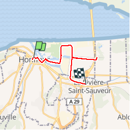
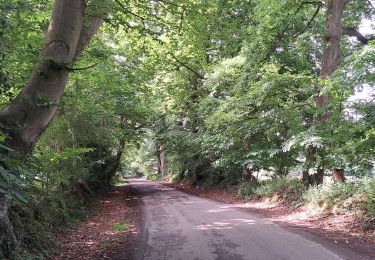
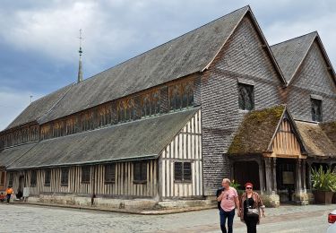
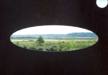
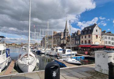
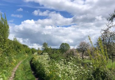
Trail Cycle of 8.6 km to be discovered at Normandy, Calvados, Honfleur. This trail is proposed by Bernard.voyageur.

Description

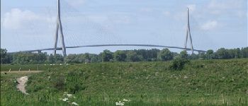
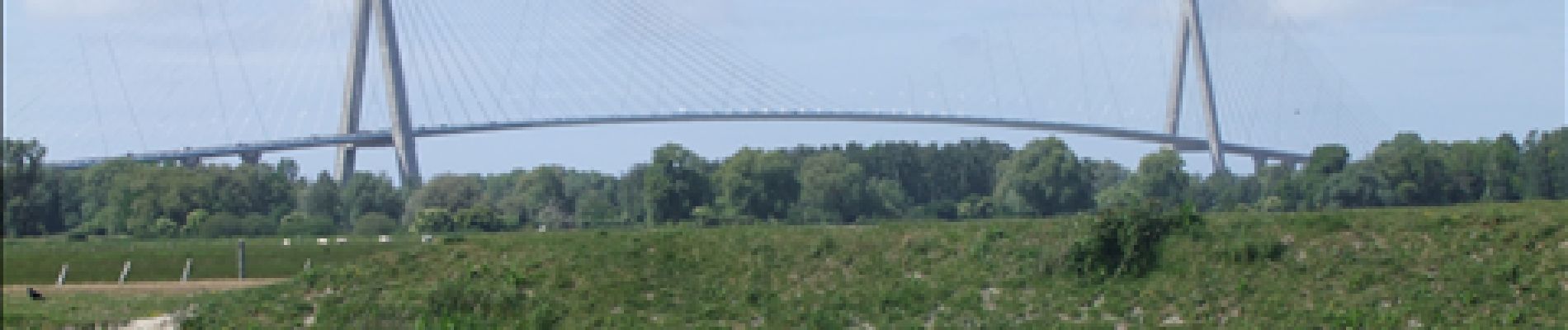
de Honfleur au camping car en passant par le pont de Normandie(position aire Camping car deriviere-saint-sauveur)

Elevation profile

Photos

Points of interest

Point of interest La Rivière-Saint-Sauveur - aire de services et de stationnement camping car - Photo
Bernard.voyageur
LA RIVIÈRE-SAINT-SAUVEUR 
Point of interest Honfleur - pont de Normandie - Photo
Bernard.voyageur

Positioning

Country:
France
Region :
Normandy
Department/Province :
Calvados
Municipality :
Honfleur
Location:
Unknown
Start:(UTM)
299416 ; 5477865 (31U) N.

Trails nearby

Trail Walking Honfleur - Rando VTT Honfleur - Photo
Walking
tracegps

Walking

Very difficult
(1)
Honfleur, Normandy, Calvados, France
33 km | 41 km-effort
4h 0min
Yes
Trail Walking Équemauville - 076-63 -Honfleur 22km--596-772 - Photo
Walking
rvs147

Walking

Easy
(1)
Équemauville, Normandy, Calvados, France
21 km | 27 km-effort
3h 34min
Yes
Trail Walking Équemauville - HONFLEUR 05 - De Honfleur à Pennedepie (Normandie) - Photo
Walking
GUIDE
Michel1963

Walking

Medium
Équemauville, Normandy, Calvados, France
23 km | 28 km-effort
5h 24min
Yes
Trail Walking Équemauville - HONFLEUR 03 - GR223 de Honfleur à Trouville (Normandie) - Photo
Walking
GUIDE
Michel1963

Walking

Medium
Équemauville, Normandy, Calvados, France
23 km | 29 km-effort
6h 52min
No
Trail Walking Honfleur - HONFLEUR 02 - NORMANDIE - Photo
Walking
GUIDE
Michel1963

Walking

Easy
Honfleur, Normandy, Calvados, France
4.9 km | 5.7 km-effort
1h 38min
Yes
Trail Walking Oudalle - Le marais d'Amfard - Photo
Walking
MarcherEnsemble

Walking

Easy
Oudalle, Normandy, Seine-Maritime, France
4.8 km | 5.1 km-effort
1h 42min
No
Trail Walking Honfleur - Honfleur (PVDB) - Photo
Walking
GUIDE
Peter.vdbergh

Walking

Easy
Honfleur, Normandy, Calvados, France
8 km | 9.7 km-effort
2h 19min
No
Trail Walking Barneville-la-Bertran - Honfleur  - Photo
Walking
bernardb2

Walking

Medium
Barneville-la-Bertran, Normandy, Calvados, France
8.1 km | 9.8 km-effort
2h 10min
Yes
Trail Walking Pennedepie - Pennedepie - Photo
Walking
Roulland

Walking

Easy
Pennedepie, Normandy, Calvados, France
21 km | 24 km-effort
4h 35min
Yes


Close
My subscriptions