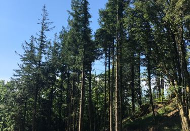
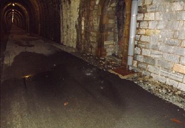
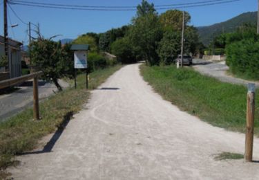
Trail Walking Verreries-de-Moussans - Etape(6) - Photo
© OpenStreetMap contributors
Length
Length
13.6 km
Max alt
Max alt
484 m
Uphill gradient
Uphill gradient
228 m
Km-Effort
Km-Effort  
17 km
Min alt
Min alt
295 m
Downhill gradient
Downhill gradient
344 m
Boucle
Boucle
No
Creation date :
2017-02-28 00:00:00.0
Updated on :
2017-02-28 00:00:00.0

(0 Reviews)

Walking
Walking
3h50
Difficulty : Unknown

Scan this QR Code to open this trail in the SityTrail application

FREE GPS app for hiking

Logo SityTrail SityTrail

IGN / Geographical institutes

Download SityTrail from the App Store Download SityTrail from Google Play

Logo SityTrail SityTrail World

The world is yours!

Download SityTrail from the App Store Download SityTrail from Google Play Download SityTrail on Huawei AppGallery

About

Trail Walking of 13.6 km to be discovered at Occitania, Hérault, Verreries-de-Moussans. This trail is proposed by Jean-Phi81.

Elevation profile

Positioning

Country:
France
Region :
Occitania
Department/Province :
Hérault
Municipality :
Verreries-de-Moussans
Location:
Unknown
Start:(UTM)
471670 ; 4812688 (31T) N.

Trails nearby

Trail Walking Lacabarède - Fontaine des 3 Eveques - Photo
Walking
tracegps

Walking

Medium
(1)
Lacabarède, Occitania, Tarn, France
12.9 km | 17.9 km-effort
4h 0min
Yes
Trail On foot Ferrals-les-Montagnes - Les Hauts de Ferrals - Photo
On foot
GUIDE+

On foot

Medium
Ferrals-les-Montagnes, Occitania, Hérault, France
15.4 km | 23 km-effort
5h 18min
Yes
Trail Walking Courniou - Prouilhe et la Route forestière de la corniche - Photo
Walking
PiloudeBamako

Walking

Difficult
Courniou, Occitania, Hérault, France
13.7 km | 22 km-effort
4h 46min
Yes
Trail Walking Courniou - tunnel de la fenille - Photo
Walking
dede34

Walking

Very easy
Courniou, Occitania, Hérault, France
3.7 km | 4.2 km-effort
55min
No
Trail Mountain bike Labastide-Rouairoux - Grande Traversée de l'Hérault à VTT - itinéraire Sud - de Courniou à Mons la Trivalle - Photo
Mountain bike
tracegps

Mountain bike

Easy
Labastide-Rouairoux, Occitania, Tarn, France
30 km | 37 km-effort
3h 0min
No
Trail Walking Labastide-Rouairoux - Grande Traversée de l'Hérault à VTT - itinéraire Sud - de Courniou à Mons la Trivalle - Photo
Walking
tracegps

Walking

Medium
Labastide-Rouairoux, Occitania, Tarn, France
30 km | 37 km-effort
7h 30min
No
Trail Walking Ferrals-les-Montagnes - Prouve que tu existes - Photo
Walking
Maxime Dallaston

Walking

Difficult
Ferrals-les-Montagnes, Occitania, Hérault, France
12.5 km | 18.9 km-effort
2h 37min
Yes
Trail On foot Labastide-Rouairoux - boucle locale - Photo
On foot
GUIDE+

On foot

Easy
Labastide-Rouairoux, Occitania, Tarn, France
7.3 km | 9.9 km-effort
2h 15min
No
Trail Walking Labastide-Rouairoux - 34 Dolmen de la Gante au dessus de COURNIOU  - Photo
Walking
jeanneruols

Walking

Easy
Labastide-Rouairoux, Occitania, Tarn, France
12.2 km | 15.2 km-effort
5h 17min
Yes


Close
My subscriptions