


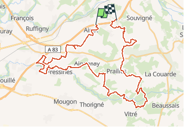

19.2 km | 22 km-effort


User


FREE GPS app for hiking
 SityTrail
IGN / Geographical institutes
SityTrail World
The world is yours!
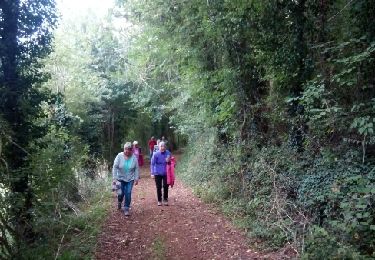
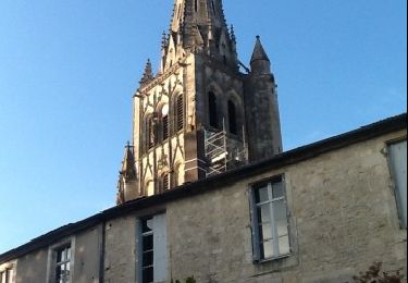
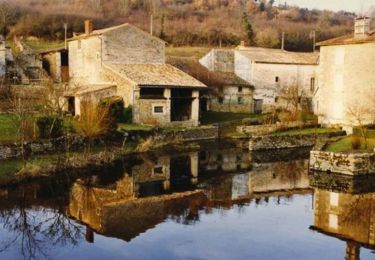
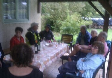
Trail Other activity of 53 km to be discovered at New Aquitaine, Deux-Sèvres, Romans. This trail is proposed by rabal85.
Walking
Walking
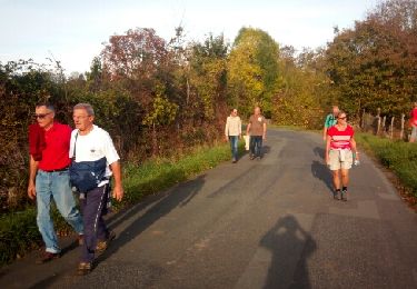
Walking
Walking
Running
Mountain bike
Walking

Walking
Walking