


9 km | 19 km-effort

User


FREE GPS app for hiking
 SityTrail
IGN / Geographical institutes
SityTrail World
The world is yours!
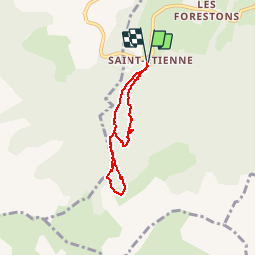
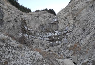
Trail Walking of 5.3 km to be discovered at Provence-Alpes-Côte d'Azur, Hautes-Alpes, Poligny. This trail is proposed by Dervalmarc.
Attention bien suivre le balisage.Nombreux sentiers et sentes transversaux une vraie galère.Pour le retour suivre le Gr 93 jusqu'à la chapelle Saint Étienne.
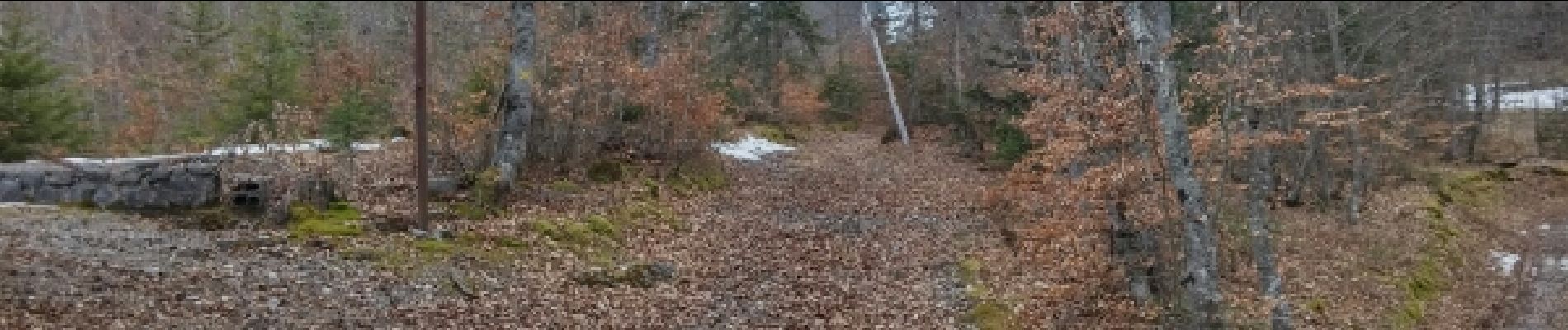
 - Photo 1")
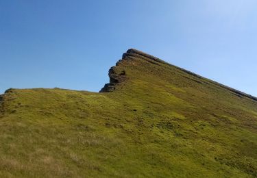
 - Photo 2")
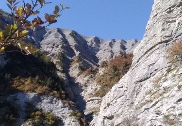
 - Photo 3")
 - Photo 4")
 - Photo 5")
 - Photo 6")
 - Photo 7")

Walking
Walking
Walking
Walking
Walking
Walking

Walking

On foot
Walking