


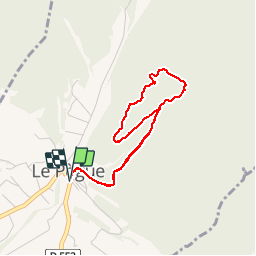

14 km | 26 km-effort


User


FREE GPS app for hiking
 SityTrail
IGN / Geographical institutes
SityTrail World
The world is yours!
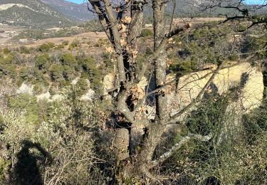
Trail Walking of 3.8 km to be discovered at Auvergne-Rhône-Alpes, Drôme, Le Pègue. This trail is proposed by yjguerin.
Itinéraire fait avec Jolane (7 ans) et Célia (4 ans). Passage d'une cheminée bien équipée (main courante). Au niveau de l'oppidum, il n'est plus possible de descendre par la sente vers le sud-ouest.

Walking
Walking

Walking

Walking
Walking
Walking
Walking

Walking

Mountain bike