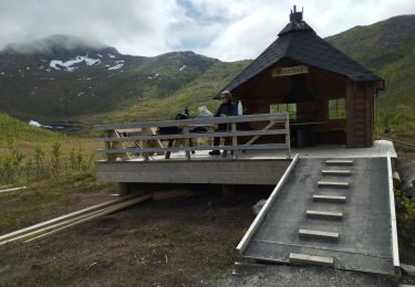

Senja - Keipen (938m)
© OpenStreetMap contributors


4h00
Difficulty : Medium


Length
10.9 km

Max alt
927 m

Uphill gradient
964 m

Km-Effort
24 km

Min alt
97 m

Downhill gradient
964 m
Boucle
Yes
Creation date :
2014-12-10 00:00:00.0
Updated on :
2014-12-10 00:00:00.0
4h00
Difficulty : Medium

FREE GPS app for hiking
About
Trail Walking of 10.9 km to be discovered at Troms og Finnmark. This trail is proposed by michel.heusschen@skynet.be.
Description
Keipen (938m)
GPS Tracks 19.07.2011
Start Mefjordeidet near the Ørnfjord Tunnel. Suitable for most people, including children who are keen hikers, but not people with a fear of heights. In the evening sun/Midnight Sun, there is a spectacular view of the mountain formation Nordlandet and the open sea. There is a car park near the start of the hike.
Positioning
Country:
Norway
Region :
Troms og Finnmark
Department/Province :
Unknown
Municipality :
Unknown
Location:
Unknown
Start:(Dec)
Start:(UTM)
605878 ; 7709596 (33W) N.
Comments


 SityTrail


