


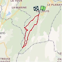


11.2 km | 25 km-effort

User


FREE GPS app for hiking
 SityTrail
IGN / Geographical institutes
SityTrail World
The world is yours!
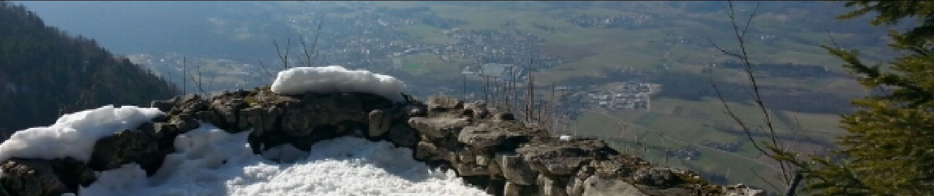
Trail Snowshoes of 11.1 km to be discovered at Auvergne-Rhône-Alpes, Isère, Saint-Christophe-sur-Guiers. This trail is proposed by patjobou.
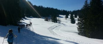
Belle boucle, mais comme souvent en Chartreuse avec Beaucoup de foret, très dense à la fin de la descente.
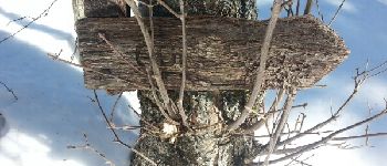
Il vaut mieux tourner dans ce sens.
Circuit raquettes n°4 du foyer de ski de fond.


Walking

Walking

Walking

Road bike

Walking

Walking

Touring skiing

Walking

sport
Difficile de suivre le balisage à contre sens sinon très belle balade.