


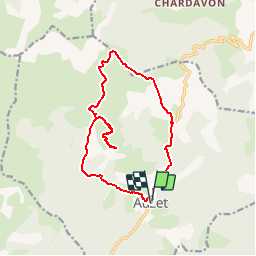


15.7 km | 24 km-effort

dernière ligne droite?


FREE GPS app for hiking
 SityTrail
IGN / Geographical institutes
SityTrail World
The world is yours!
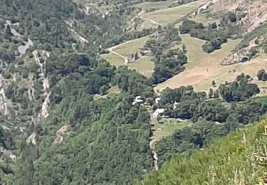
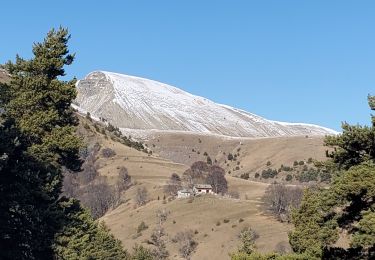
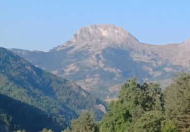
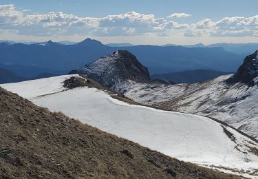
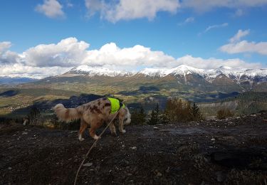
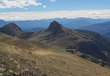
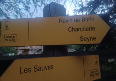
Trail Snowshoes of 15.3 km to be discovered at Provence-Alpes-Côte d'Azur, Alpes-de-Haute-Provence, Auzet. This trail is proposed by DC2019.
Walking
Walking
Walking
Walking
Walking
Walking
Walking
Walking
On foot