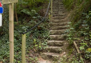
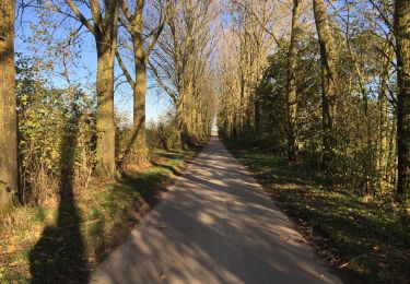
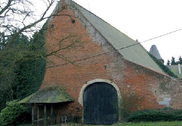
23 km | 28 km-effort
wavre -ottenburg - Gastuche 3
emileverschueren
User
Length
10.7 km
Max alt
113 m
Uphill gradient
163 m
Km-Effort
12.8 km
Min alt
37 m
Downhill gradient
161 m
Boucle
Yes
Creation date :
2019-04-24 16:26:26.442
Updated on :
2019-04-24 16:26:26.473
2h00
Difficulty : Easy
FREE GPS app for hiking
About
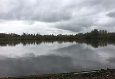
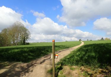
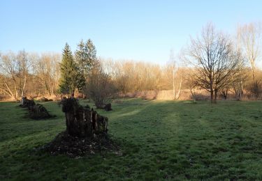
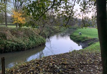
Trail Walking of 10.7 km to be discovered at Wallonia, Walloon Brabant, Wavre. This trail is proposed by emileverschueren.
Description
variante 3
Positioning
Country:
Belgium
Region :
Wallonia
Department/Province :
Walloon Brabant
Municipality :
Wavre
Location:
Wavre
Start:(Dec)
Start:(UTM)
614438 ; 5620440 (31U) N.
Comments
Trails nearby
GG-Bw-01_Archennes - Wavre
Walking
Very difficult
(7)
Grez-Doiceau,
Wallonia,
Walloon Brabant,
Belgium
5h 59min
No
De Dion-le Mont à Dion-le Val par la vallée du Pisselet
Walking
Very easy
(8)
Chaumont-Gistoux,
Wallonia,
Walloon Brabant,
Belgium
8.6 km | 10.3 km-effort
2h 0min
Yes
BE-Chaumont-Gistoux - Vieusart
Walking
(1)
Chaumont-Gistoux,
Wallonia,
Walloon Brabant,
Belgium
5.6 km | 6.6 km-effort
1h 18min
Yes
Lauzelle - Circuit Natura 2000, des sites qui valent le détour ! - Bw01
Walking
Easy
(2)
Ottignies-Louvain-la-Neuve,
Wallonia,
Walloon Brabant,
Belgium
3.8 km | 4.8 km-effort
1h 26min
Yes
RB-BW-07 - Des montagnes russes près de Wavre
Walking
Medium
(4)
Wavre,
Wallonia,
Walloon Brabant,
Belgium
27 km | 34 km-effort
7h 5min
Yes
#221104 - Florival > Pécrot, GRP127
Walking
Medium
(2)
Grez-Doiceau,
Wallonia,
Walloon Brabant,
Belgium
7 km | 8.4 km-effort
1h 55min
Yes
#210507 Dion-le-Mont, Pisselet et Louvranges
Walking
Medium
(1)
Chaumont-Gistoux,
Wallonia,
Walloon Brabant,
Belgium
6.5 km | 7.9 km-effort
2h 12min
Yes
#210224 - Rés. nat. Florival, étang de Pécrot, Sept Bonniers
Walking
Medium
(3)
Grez-Doiceau,
Wallonia,
Walloon Brabant,
Belgium
7.1 km | 8.4 km-effort
1h 54min
Yes
RB - BW - 6 Gastuche Precrot
Walking
Easy
(2)
Grez-Doiceau,
Wallonia,
Walloon Brabant,
Belgium
14.5 km | 17.2 km-effort
2h 58min
Yes