


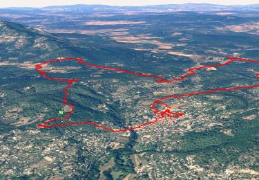
12.1 km | 16.5 km-effort

User


FREE GPS app for hiking
 SityTrail
IGN / Geographical institutes
SityTrail World
The world is yours!
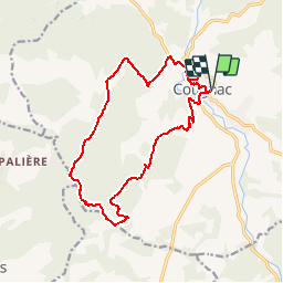
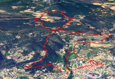
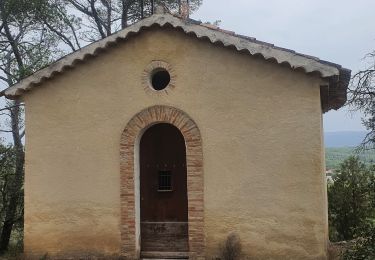
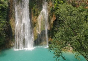
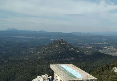
Trail Walking of 16.4 km to be discovered at Provence-Alpes-Côte d'Azur, Var, Cotignac. This trail is proposed by Sugg.
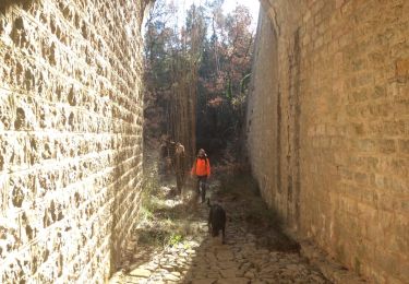
Reco à effectuer pour la sortie du 18-02-17.
Efectuée le 06 février avec Pierre.
L'extension par " les Clos neufs " et le Tumulus du Coffre de Collorgues " de la reco ne sera pas retenue.
Ce parcours sera maintenu.


Walking
Walking
Walking
Walking
Walking
Walking
Walking
Walking
Walking
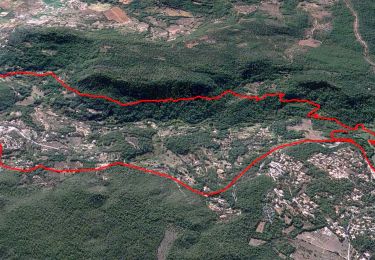
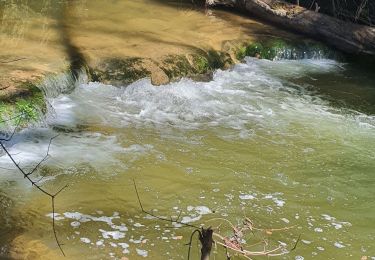
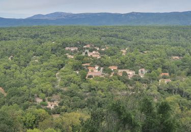
excellent parcours. à recommander.