


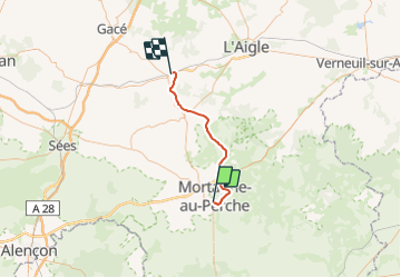

14.4 km | 16.1 km-effort


User


FREE GPS app for hiking
 SityTrail
IGN / Geographical institutes
SityTrail World
The world is yours!
Trail Other activity of 34 km to be discovered at Normandy, Orne, Saint-Langis-lès-Mortagne. This trail is proposed by mich54.
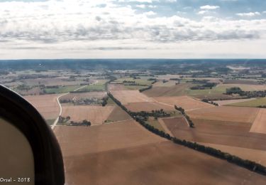
La ligne ferroviaire de Mortagne-au-Perche à Sainte-Gauburge est une ancienne ligne de chemin de fer française, se trouvant dans le département de l'Orne et la région Basse-Normandie.
Cette ligne reliait le pays d'Ouche méridional au Perche septentrional selon un axe nord/sud.
Le 5 mai 1938, fin du service voyageurs par rail et transfert sur la route.(Source Wikipédia)
Walking
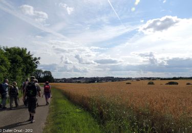
Walking

Walking
Electric bike

Walking
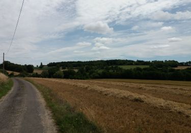
Walking
Walking
Walking
Walking