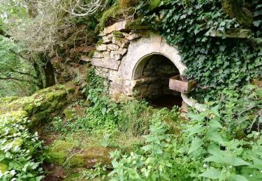
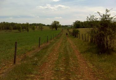
9 km | 10.6 km-effort
Maymac
bonnetchristian
User
Length
7.7 km
Max alt
590 m
Uphill gradient
93 m
Km-Effort
9 km
Min alt
529 m
Downhill gradient
94 m
Boucle
Yes
Creation date :
2014-12-10 00:00:00.0
Updated on :
2014-12-10 00:00:00.0
--
Difficulty : Unknown
FREE GPS app for hiking
About
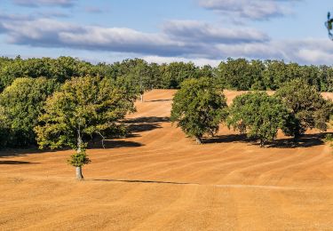
Trail Mountain bike of 7.7 km to be discovered at Occitania, Aveyron, Rodelle. This trail is proposed by bonnetchristian.
Positioning
Country:
France
Region :
Occitania
Department/Province :
Aveyron
Municipality :
Rodelle
Location:
Unknown
Start:(Dec)
Start:(UTM)
470039 ; 4922836 (31T) N.
Comments
Trails nearby
BEZONNES Nord
Walking
Medium
(1)
Rodelle,
Occitania,
Aveyron,
France
6 km | 6.3 km-effort
1h 25min
Yes
Ledenac 2
Mountain bike
Very easy
(1)
Rodelle,
Occitania,
Aveyron,
France
5.5 km | 6.8 km-effort
Unknown
No
Lo Camin de Pueg Rossel
On foot
Easy
Sébazac-Concourès,
Occitania,
Aveyron,
France
6.6 km | 7.8 km-effort
1h 46min
Yes
Lo Cami de la Font
On foot
Easy
Sébazac-Concourès,
Occitania,
Aveyron,
France
5.9 km | 6.6 km-effort
1h 29min
No
Virada De Rescondudon (autour du Rescondudou)
On foot
Easy
Sébazac-Concourès,
Occitania,
Aveyron,
France
6.6 km | 7.6 km-effort
1h 44min
Yes
Les Corniches des Douzes
On foot
Easy
Muret-le-Château,
Occitania,
Aveyron,
France
12 km | 15.5 km-effort
3h 31min
Yes
BARRIAC / CARCUAC
On foot
Easy
Bozouls,
Occitania,
Aveyron,
France
3.9 km | 4.8 km-effort
1h 0min
Yes
Onet l'église - Limouze - Le Tindoul de la Vayssière
Walking
Medium
(1)
Sébazac-Concourès,
Occitania,
Aveyron,
France
16.1 km | 18.6 km-effort
4h 0min
Yes